Myanmar
Country · Asia, South-eastern Asia
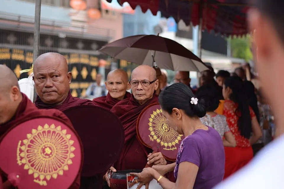
Myanmar is a country located in South-eastern Asia, sharing land or sea borders with Bangladesh, China, India, Laos, and Thailand. Its capital is Naypyidaw, and it spans an area of 676,577 square kilometers with a population of about 55 million.
Highlights
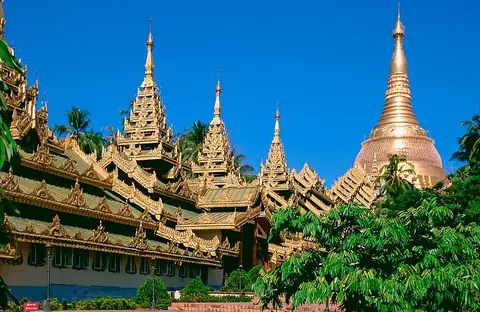
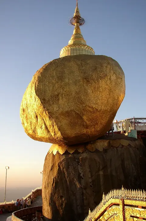
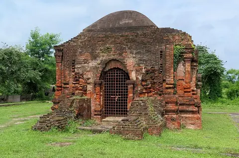
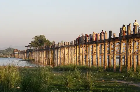
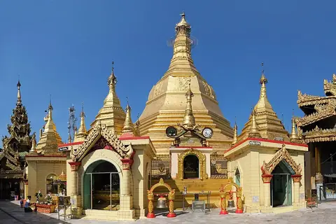
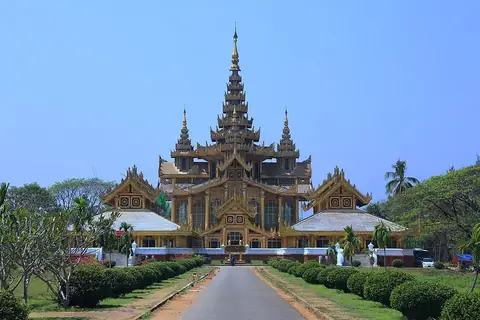
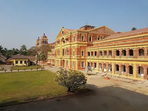
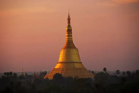
The country features 11 top sights across cities like Yangon and Bago. Notable locations include the Shwedagon Pagoda, Kyaiktiyo Pagoda, Strand Hotel, Sri Ksetra kingdom, U Bein Bridge, Sule Pagoda, Martyrs' Mausoleum, Kanbawzathadi Palace, Ministers' Building, Shwemawdaw Pagoda, and Shwethalyaung Temple.
Food and drink
Local dishes include Mohinga, Nan gyi thoke, Khauk swè thoke, Mont di, Burmese salads, Kat kyi kaik, Pon ye gyi, and Meeshay.
When to go
The climate at the capital, Naypyidaw, features daily highs and lows. January and February have highs of 29 °C to 32 °C, lows of 14 °C to 15 °C, and minimal rain of 3 mm on 1 to 2 days. March brings a high of 36 °C and a low of 19 °C. April sees a high of 38 °C and 20 mm of rain. May through October bring heavier rain, peaking from June to August with 227 mm to 266 mm of rain per month and highs around 29 °C to 34 °C. November and December cool down to highs of 29 °C to 30 °C with low rainfall.
Practical notes
The currency is the kyat. The official language is Burmese. Driving is on the right side of the road. The time zone is UTC+06:30. Plugs used are types C, F, and G, operating at a voltage of 230.0 V.
Cities
Food and drink to try in Myanmar
- Mohinga
- Nan gyi thoke
- Khauk swè thoke
- Mont di
- Burmese salads
- Kat kyi kaik
- Pon ye gyi
- Meeshay
Top sights in Myanmar



Weather by month
The warmest month is April, with an average high of 38 °C. The wettest is August, with about 266 mm of rain.
| Jan | Feb | Mar | Apr | May | Jun | Jul | Aug | Sep | Oct | Nov | Dec | |
|---|---|---|---|---|---|---|---|---|---|---|---|---|
| Average high, °C | 29 | 32 | 36 | 38 | 35 | 30 | 29 | 29 | 30 | 30 | 30 | 29 |
| Average low, °C | 14 | 15 | 19 | 24 | 25 | 24 | 24 | 24 | 23 | 23 | 19 | 16 |
| Rainfall, mm | 3 | 3 | 3 | 20 | 160 | 227 | 251 | 266 | 200 | 154 | 44 | 5 |
| Rainy days | 2 | 1 | 1 | 5 | 14 | 21 | 24 | 25 | 18 | 15 | 6 | 2 |
Temperatures and rainfall: 1981–2010 averages for Naypyidaw (4 km grid), from CHELSA. Rainy days: 2015–2024, NASA POWER.
Also worth a look
- Beikthano
- Chaukhtatgyi Buddha Temple
- Hanlin, Burma
- Inya Lake
- Kandawgyi Lake
- Mount Zwegabin
- Nat Ma Taung
- St. Mary's Cathedral, Yangon
- Uppatasanti Pagoda
- Yangon City Hall
- Yangon Zoological Gardens