Nauru
Country · Oceania, Micronesia
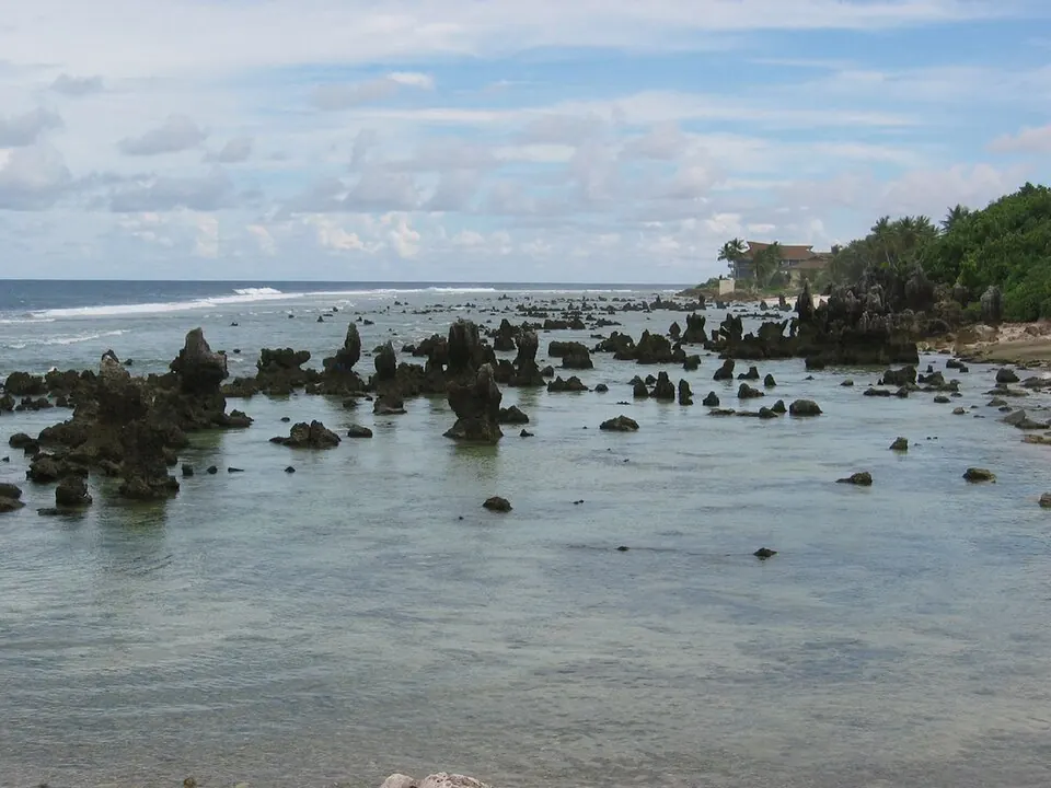
Nauru is an island country located in Oceania, specifically in Micronesia. Its capital is Yaren District, covering an area of 21 sq km with a population of about 12,025 in 2025. The country offers visitors sights such as inland water features and high points.
Highlights
The site covers 2 top sights. Natural and historical points of interest include Buada Lagoon and Command Ridge, which is also the highest point.
When to go
The climate at the capital features average temperatures of 27 °C across all months. Rainfall varies throughout the year. January sees rain of 230 mm on about 17 days, February has 183 mm on about 20 days, March has 203 mm on about 19 days, April records 228 mm on about 18 days, May has 165 mm on about 19 days, June has 173 mm on about 14 days, July has 190 mm on about 18 days, August experiences 181 mm on about 14 days, September has 160 mm on about 13 days, October records 159 mm on about 10 days, November has 162 mm on about 12 days, and December receives 267 mm of rain on about 14 days.
Practical notes
The currency is the Australian dollar. Spoken languages are Nauruan and English. The time zone is UTC+12:00. Driving is on the left side of the road. Plugs are type I with a voltage of 240 V.
Top sights in Nauru


Weather by month
Temperatures stay much the same all year, around 27 °C on average. Rain is spread fairly evenly through the year.
| Jan | Feb | Mar | Apr | May | Jun | Jul | Aug | Sep | Oct | Nov | Dec | |
|---|---|---|---|---|---|---|---|---|---|---|---|---|
| Average temperature, °C | 27 | 27 | 27 | 27 | 27 | 27 | 27 | 27 | 27 | 27 | 27 | 27 |
| Rainfall, mm | 230 | 183 | 203 | 228 | 165 | 173 | 190 | 181 | 160 | 159 | 162 | 267 |
| Rainy days | 17 | 20 | 19 | 18 | 19 | 14 | 18 | 14 | 13 | 10 | 12 | 14 |
Temperatures and rainfall: 1981–2010 averages for Yaren District (4 km grid), from CHELSA. Rainy days: 2015–2024, NASA POWER.