Oosterscheldekering
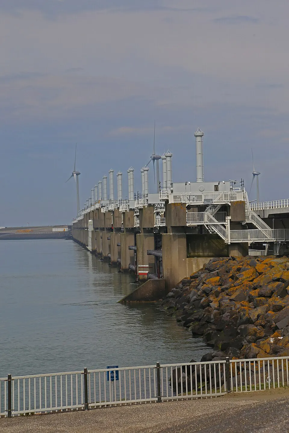
The Oosterscheldekering is a flood control structure in the Netherlands. It is part of the Delta Works and the N57 highway, and it is named after the Oosterschelde. It is the 30th most looked-up sight in the country on English Wikipedia.
Planning a visit
The warmest months are July and August, with daily highs of 20 °C and lows of 15 °C. The coldest months are January and February, with daily highs of 6 °C and lows of 2 °C. In spring, April has daily highs of 12 °C and lows of 6 °C. In September, daily highs are 18 °C and lows are 13 °C. Rainfall is lowest in April at 44 mm and highest in October at 90 mm. The most rainy months are November and December, which have about 16 rainy days each.
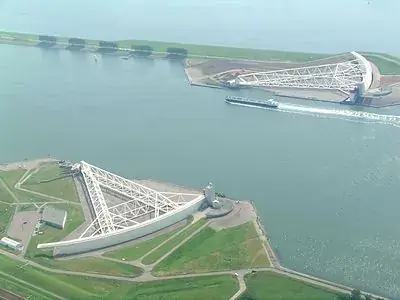
The structure is 115 km from Amsterdam and 62 km from Rotterdam The Hague Airport. It is located in the Schouwen-Duiveland, Veere, and Noord-Beveland areas. A visit can be combined with a trip to the Maeslantkering, which is 48 km away.
Weather by month
The warmest month is August, with an average high of 20 °C. Rain is spread fairly evenly through the year.
| Jan | Feb | Mar | Apr | May | Jun | Jul | Aug | Sep | Oct | Nov | Dec | |
|---|---|---|---|---|---|---|---|---|---|---|---|---|
| Average high, °C | 6 | 6 | 9 | 12 | 15 | 18 | 20 | 20 | 18 | 14 | 10 | 7 |
| Average low, °C | 2 | 2 | 4 | 6 | 10 | 13 | 15 | 15 | 13 | 10 | 6 | 3 |
| Rainfall, mm | 69 | 56 | 60 | 44 | 59 | 69 | 74 | 75 | 83 | 90 | 89 | 83 |
| Rainy days | 15 | 13 | 13 | 10 | 11 | 11 | 12 | 13 | 13 | 14 | 16 | 16 |
Temperatures and rainfall: 1981–2010 averages for this spot (4 km grid), from CHELSA. Rainy days: 2015–2024, NASA POWER.