Galdhøpiggen
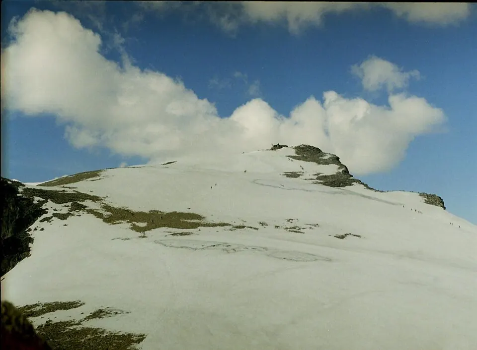
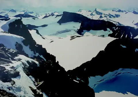
Galdhøpiggen is a mountain located in Lom Municipality, Norway, within the Jotunheimen mountain range. Reaching an elevation of 2469 meters, it is one of the most looked-up sights in Norway on English Wikipedia. Visitors can explore this notable peak in the Jotunheimen region.
Planning a visit
The warmest months are June through August, with daily highs ranging from 3 °C to 7 °C and lows between -3 °C and 0 °C, though these months also experience the highest rainfall, with July seeing about 162 mm of rain across 24 days. The winter months from November to March feature daily highs between -11 °C and -14 °C and lows from -16 °C to -18 °C.
The nearest airport is Sogndal Airport, Haukåsen in Sogndal, Norway, located 82 km away, while Ålesund Airport is 154 km away. The sight is 233 km from Oslo. For nearby exploration, Jotunheimen is 0 km away.
Weather by month
The warmest month is July, with an average high of 7 °C. Rain is spread fairly evenly through the year.
| Jan | Feb | Mar | Apr | May | Jun | Jul | Aug | Sep | Oct | Nov | Dec | |
|---|---|---|---|---|---|---|---|---|---|---|---|---|
| Average high, °C | -14 | -14 | -12 | -7 | -2 | 3 | 7 | 5 | 0 | -6 | -11 | -13 |
| Average low, °C | -18 | -18 | -16 | -12 | -8 | -3 | 0 | -1 | -5 | -11 | -16 | -18 |
| Rainfall, mm | 140 | 93 | 95 | 70 | 82 | 115 | 162 | 172 | 165 | 160 | 137 | 123 |
| Rainy days | 23 | 20 | 20 | 18 | 19 | 21 | 24 | 23 | 21 | 21 | 20 | 23 |
Temperatures and rainfall: 1981–2010 averages for this spot (4 km grid), from CHELSA. Rainy days: 2015–2024, NASA POWER.