Margalla Hills
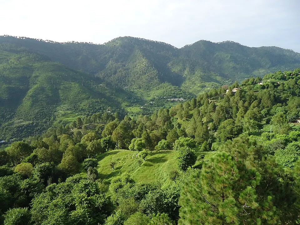
The Margalla Hills are a mountain range located in the Islamabad Capital Territory and Haripur District of Pakistan. Reaching an elevation of 1,604 meters, this mountain range is one of the most looked-up sights in the country on English Wikipedia.
Planning a visit
July and August are the warmest months with daily highs of 30 °C and 29 °C respectively, while July also sees the highest rainfall at 355 mm across about 22 rainy days. January is the coolest month with daily highs of 14 °C and lows of 2 °C. November and December have the least rain, with 27 mm on about 4 days and 55 mm on about 3 days.
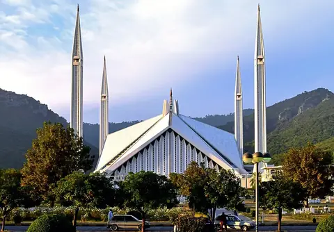
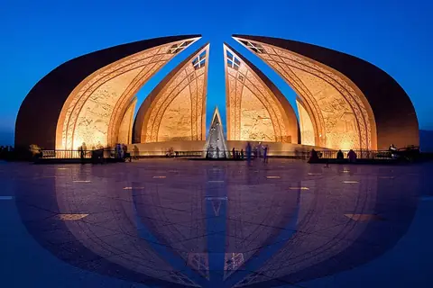
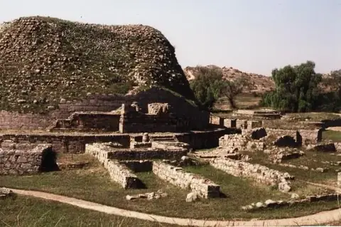
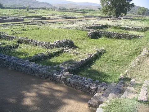
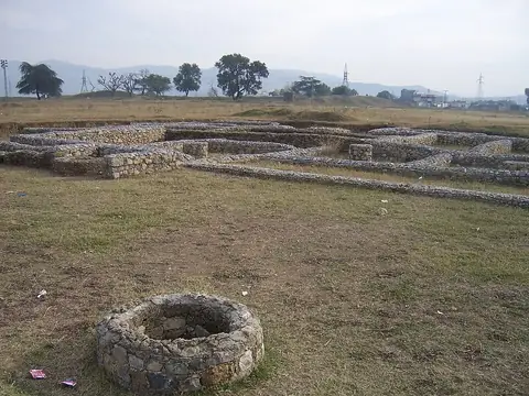
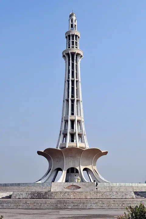
The nearest airport is Islamabad International Airport in Attock, situated 28 km away. The mountain range is located 5 km from Islamabad. Nearby points of interest include Faisal Mosque at 2.1 km, Pakistan Monument at 7.1 km, Dharmarajika Stupa at 16.7 km, Sirkap at 17.9 km, and Bhir Mound at 18.6 km.
Weather by month
The warmest month is June, with an average high of 34 °C. The wettest is July, with about 355 mm of rain.
| Jan | Feb | Mar | Apr | May | Jun | Jul | Aug | Sep | Oct | Nov | Dec | |
|---|---|---|---|---|---|---|---|---|---|---|---|---|
| Average high, °C | 14 | 15 | 20 | 25 | 31 | 34 | 30 | 29 | 29 | 26 | 20 | 16 |
| Average low, °C | 2 | 4 | 8 | 13 | 18 | 21 | 22 | 21 | 19 | 13 | 8 | 4 |
| Rainfall, mm | 92 | 123 | 147 | 100 | 61 | 96 | 355 | 328 | 128 | 44 | 27 | 55 |
| Rainy days | 7 | 6 | 10 | 9 | 8 | 12 | 22 | 19 | 10 | 5 | 4 | 3 |
Temperatures and rainfall: 1981–2010 averages for this spot (4 km grid), from CHELSA. Rainy days: 2015–2024, NASA POWER.