Palau
Country · Oceania, Micronesia
Palau is an island country located in the Micronesia subregion of Oceania, with the Federated States of Micronesia, Indonesia, and the Philippines as neighbors by sea. The nation covers 466 square kilometers and has a population of about 18,000. Ngerulmud serves as the capital.
Highlights
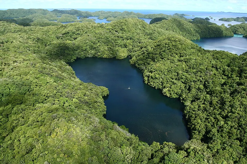
This site covers 2 primary sights in Palau. Visitors can explore the Capitol of Palau, which serves as the seat of government. Another point of interest is Jellyfish Lake, a natural site.
When to go
The capital, Ngerulmud, experiences warm weather throughout the year, with average temperatures remaining steady between 26 °C and 27 °C. Rainfall is frequent, occurring on most days of every month. The driest period is February and March, which see about 20 days of rain each, with totals of 265 mm and 234 mm respectively. Rainfall is heavier in other months, such as May with 341 mm or August with 380 mm. The wettest periods are June and July, with rainfall reaching 487 mm and 501 mm respectively, and rain occurring on nearly every day of those months. Travelers should expect humid conditions regardless of when they visit.
Practical notes
The official currency is the United States dollar. English, Palauan, and Japanese are the spoken languages. The country uses electrical plugs of type A and B with a voltage of 120 V. Driving takes place on the right side of the road. The time zone is UTC+09:00. The international calling code is +680, and the top-level domain is .pw.
Top sights in Palau
Weather by month
Temperatures stay much the same all year, around 27 °C on average. Rain is spread fairly evenly through the year.
| Jan | Feb | Mar | Apr | May | Jun | Jul | Aug | Sep | Oct | Nov | Dec | |
|---|---|---|---|---|---|---|---|---|---|---|---|---|
| Average temperature, °C | 27 | 26 | 27 | 27 | 27 | 27 | 27 | 27 | 27 | 27 | 27 | 27 |
| Rainfall, mm | 322 | 265 | 234 | 218 | 341 | 487 | 501 | 380 | 346 | 342 | 324 | 327 |
| Rainy days | 24 | 21 | 20 | 21 | 25 | 29 | 30 | 28 | 28 | 26 | 26 | 26 |
Temperatures and rainfall: 1981–2010 averages for Ngerulmud (4 km grid), from CHELSA. Rainy days: 2015–2024, NASA POWER.