Paraguay River
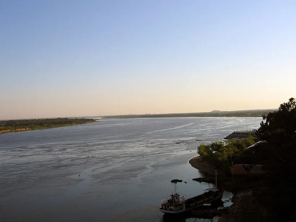
The Paraguay River is a 2,621,000 m river located in Mato Grosso do Sul. It is one of the most looked-up sights in Paraguay, ranking second among the country's sights on this site.
Planning a visit
July is the driest month with 8 mm of rain on about 0 days and daily temperatures of high 30 °C and low 18 °C. January is the wettest month with 332 mm of rain on about 26 days and daily temperatures of high 30 °C and low 22 °C. The highest temperatures occur in August, September, and October at high 32 °C.
The nearest airport is Tangará da Serra Airport in Tangará da Serra, Brazil, located 85 km away. Várzea Grande–Marechal Rondon International Airport in Cuiabá, Brazil, is 162 km away. The river is 1,222 km from Asunción.
Weather by month
The warmest month is September, with an average high of 32 °C. The wettest is January, with about 332 mm of rain.
| Jan | Feb | Mar | Apr | May | Jun | Jul | Aug | Sep | Oct | Nov | Dec | |
|---|---|---|---|---|---|---|---|---|---|---|---|---|
| Average high, °C | 30 | 30 | 30 | 30 | 29 | 29 | 30 | 32 | 32 | 32 | 30 | 30 |
| Average low, °C | 23 | 22 | 22 | 22 | 20 | 19 | 18 | 20 | 22 | 23 | 23 | 23 |
| Rainfall, mm | 332 | 281 | 271 | 134 | 42 | 13 | 8 | 20 | 65 | 170 | 214 | 287 |
| Rainy days | 26 | 24 | 25 | 18 | 5 | 2 | 0 | 3 | 5 | 16 | 20 | 24 |
Temperatures and rainfall: 1981–2010 averages for this spot (4 km grid), from CHELSA. Rainy days: 2015–2024, NASA POWER.