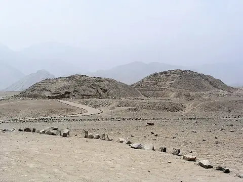
Nazca lines
Peru UNESCO World Heritage Site
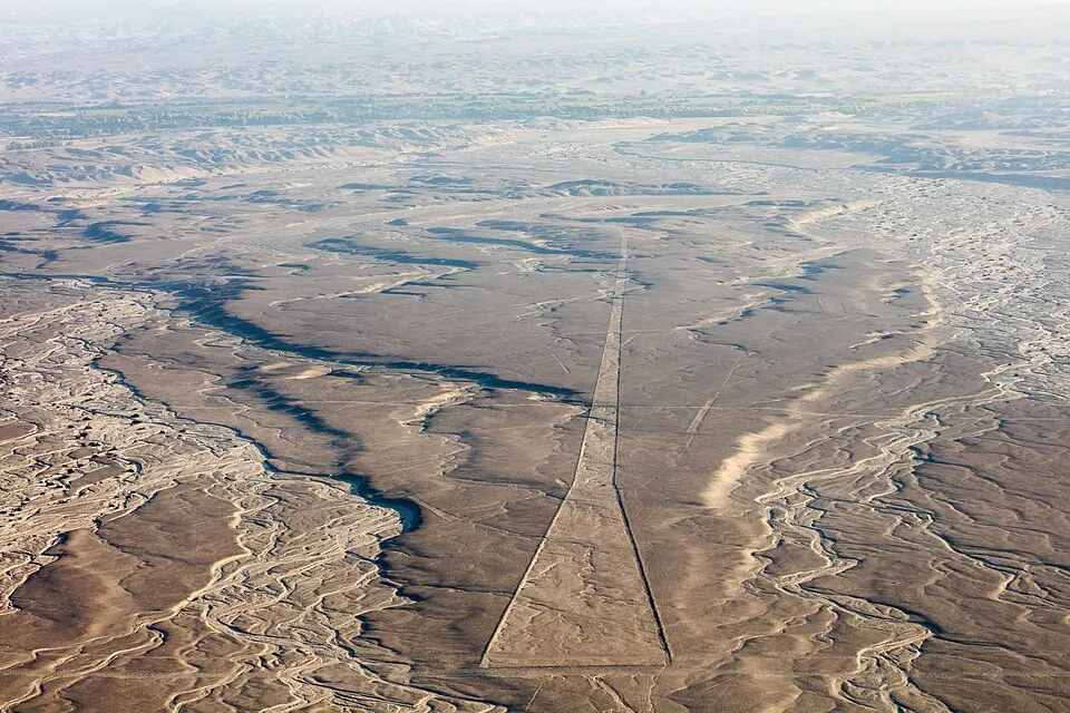
The Nazca lines in Peru are a geoglyph and archaeological site created by the Nazca culture. Designated as a World Heritage Site and cultural heritage of Peru, the site covers an area of 754 km2 and dates back to 200 BC. It is one of the most looked-up sights in the country on English Wikipedia.
Planning a visit
The site experiences daily highs from 24 °C in July to 31 °C in March, and daily lows from 14 °C between June and September to 22 °C in February and March. Rain is minimal throughout the year, with the highest amounts in January through March at 10 to 13 mm of rain on 4 to 5 days per month, while months from May to September see almost no precipitation.
The nearest airport is Maria Reiche Neuman Airport in Nazca, located 26 km away, while Jorge Chávez International Airport in Lima is 367 km away. The capital, Lima, is 358 km from the site.
Weather by month
The warmest month is March, with an average high of 31 °C. Rain is spread fairly evenly through the year.
| Jan | Feb | Mar | Apr | May | Jun | Jul | Aug | Sep | Oct | Nov | Dec | |
|---|---|---|---|---|---|---|---|---|---|---|---|---|
| Average high, °C | 30 | 31 | 31 | 30 | 28 | 25 | 25 | 26 | 27 | 28 | 29 | 30 |
| Average low, °C | 21 | 22 | 22 | 20 | 17 | 14 | 14 | 14 | 14 | 16 | 17 | 19 |
| Rainfall, mm | 10 | 13 | 12 | 2 | 1 | 1 | 1 | 1 | 1 | 1 | 1 | 4 |
| Rainy days | 5 | 5 | 4 | 1 | 1 | 0 | 0 | 0 | 0 | 1 | 2 | 4 |
Temperatures and rainfall: 1981–2010 averages for this spot (4 km grid), from CHELSA. Rainy days: 2015–2024, NASA POWER.