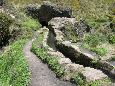
Pacaya-Samiria National Reserve
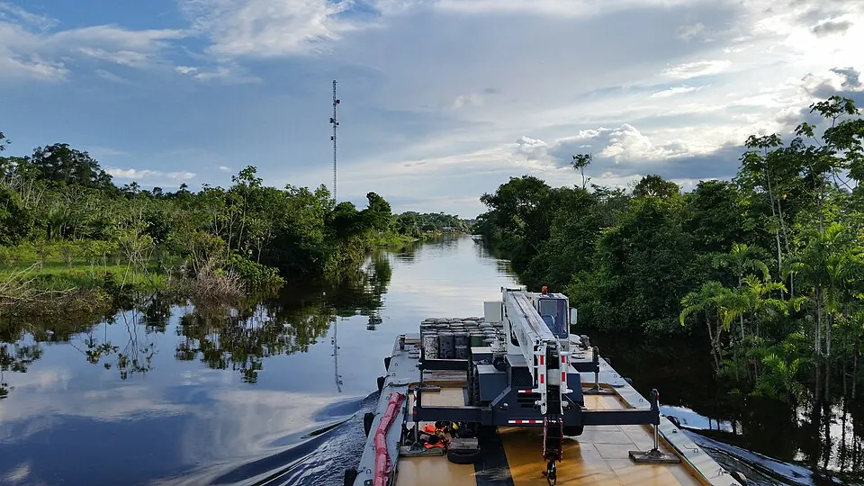
Pacaya-Samiria National Reserve is a protected area located in the Loreto Department of Peru, spanning an area of 20800 square kilometers among the Marañón, Ucayali, and Amazonas rivers. It is recognized as a Ramsar site and ranks as one of the most looked-up sights in the country on English Wikipedia. Visitors can explore this extensive protected region situated 801 kilometers from Lima.
Planning a visit
The reserve experiences daily highs between 28 °C and 30 °C and daily lows between 22 °C and 23 °C throughout the year. Precipitation varies, with lower rainfall recorded from July to September, such as 132 mm on about 13 days in August, and higher rainfall from December to March, reaching 299 mm on about 24 days in March. Admission prices are S/30 for foreign visitors, S/15 for Peruvian adults, and S/8 for Peruvian children.
The nearest airport is Moises Benzaquen Rengifo Airport in Yurimaguas, located 176 kilometers away, while Coronel FAP Francisco Secada Vignetta International Airport in Iquitos serves as a hub 222 kilometers away. The site is located in the city of Iquitos.
Weather by month
Temperatures stay much the same all year, around 26 °C on average. Rain is spread fairly evenly through the year.
| Jan | Feb | Mar | Apr | May | Jun | Jul | Aug | Sep | Oct | Nov | Dec | |
|---|---|---|---|---|---|---|---|---|---|---|---|---|
| Average high, °C | 30 | 29 | 29 | 29 | 28 | 28 | 28 | 29 | 29 | 30 | 29 | 29 |
| Average low, °C | 23 | 23 | 23 | 23 | 23 | 22 | 22 | 22 | 23 | 23 | 23 | 23 |
| Rainfall, mm | 243 | 258 | 299 | 284 | 241 | 170 | 135 | 132 | 190 | 223 | 246 | 268 |
| Rainy days | 23 | 21 | 24 | 23 | 22 | 18 | 17 | 13 | 15 | 20 | 21 | 24 |
Temperatures and rainfall: 1981–2010 averages for this spot (4 km grid), from CHELSA. Rainy days: 2015–2024, NASA POWER.