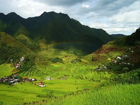
Mount Pulag
Kabayan, Philippines
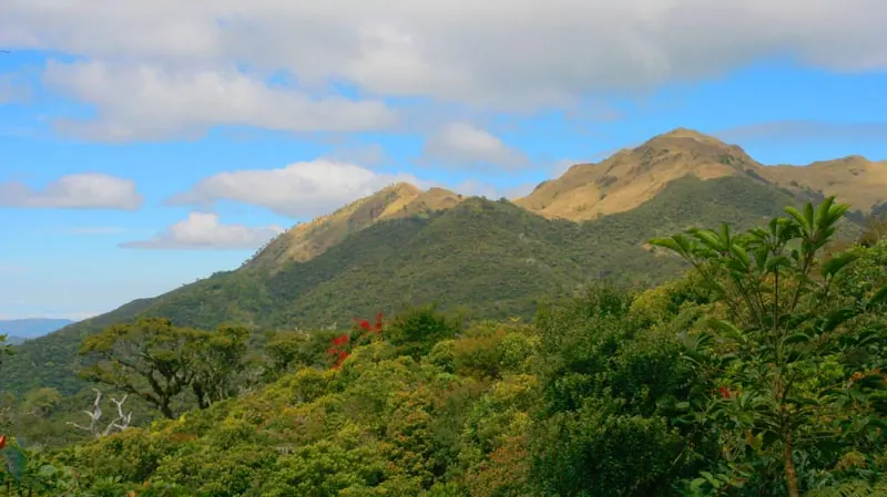
Mount Pulag is a mountain in the Cordillera Central mountain range, situated within the Cordillera Administrative Region and Cagayan Valley. It is one of the most looked-up sights in the Philippines on English Wikipedia, ranking 14th among the country's many sights.
Planning a visit
The driest months to visit are January, February, and March, with rainfall between 31 mm and 58 mm. During this time, daily temperatures range from lows of 7 °C to highs of 16 °C. The wettest months are May through September, when rainfall increases significantly. August is the wettest month, with about 632 mm of rain and daily temperatures around 17 °C highs and 11 °C lows. In April, rainfall is about 136 mm, while in December, it is about 42 mm.
The mountain is 221 km from Manila. For air travel, Cauayan Airport is 100 km away and Clark International Airport is 159 km away. Mount Pulag can be combined with visits to the Banaue Rice Terraces or the Rice Terraces of the Philippine Cordilleras, both of which are located approximately 47 km away.
Weather by month
The warmest month is May, with an average high of 18 °C. The wettest is August, with about 632 mm of rain.
| Jan | Feb | Mar | Apr | May | Jun | Jul | Aug | Sep | Oct | Nov | Dec | |
|---|---|---|---|---|---|---|---|---|---|---|---|---|
| Average high, °C | 14 | 15 | 16 | 18 | 18 | 18 | 17 | 17 | 17 | 16 | 16 | 14 |
| Average low, °C | 7 | 8 | 8 | 10 | 10 | 11 | 11 | 11 | 10 | 10 | 9 | 8 |
| Rainfall, mm | 31 | 32 | 58 | 136 | 324 | 381 | 501 | 632 | 407 | 284 | 90 | 42 |
| Rainy days | 7 | 5 | 7 | 13 | 26 | 28 | 30 | 30 | 28 | 22 | 15 | 14 |
Temperatures and rainfall: 1981–2010 averages for this spot (4 km grid), from CHELSA. Rainy days: 2015–2024, NASA POWER.