Mount Talinis
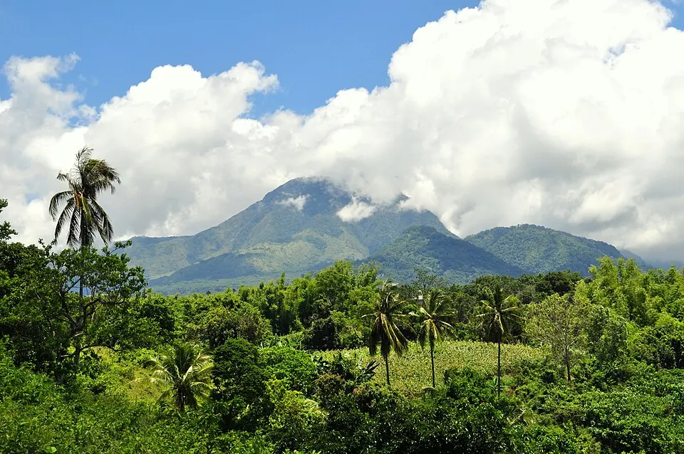
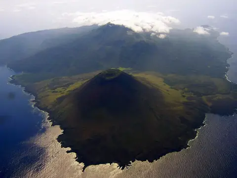
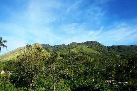
Mount Talinis is an andesite mountain in Negros Oriental with an elevation of 1,862 meters. It is one of the 69 sights of the Philippines listed on this site and is ranked 51st in popularity among the country's sights based on English Wikipedia lookups.
Planning a visit
The driest months are March, with about 9 rainy days, and February, with about 13 rainy days. Rainfall increases significantly from May through November, with October seeing the most rain at about 363 mm over 28 days. Temperatures remain steady, with daily highs between 22 °C and 24 °C and lows between 17 °C and 18 °C.
Sibulan Airport is the nearest airport, located 18 km from the mountain, and Bohol-Panglao International Airport is 75 km away. The site is 640 km from Manila. Nearby locations include Balinsasayao Twin Lakes Natural Park, which is 11.1 km away, and Dumaguete Cathedral, located 16.6 km away.
Weather by month
Temperatures stay much the same all year, around 20 °C on average. The wettest is October, with about 363 mm of rain.
| Jan | Feb | Mar | Apr | May | Jun | Jul | Aug | Sep | Oct | Nov | Dec | |
|---|---|---|---|---|---|---|---|---|---|---|---|---|
| Average high, °C | 22 | 22 | 23 | 24 | 24 | 23 | 22 | 22 | 22 | 22 | 22 | 22 |
| Average low, °C | 18 | 17 | 18 | 18 | 19 | 18 | 18 | 18 | 18 | 18 | 18 | 18 |
| Rainfall, mm | 113 | 86 | 67 | 82 | 172 | 325 | 344 | 343 | 338 | 363 | 264 | 161 |
| Rainy days | 18 | 13 | 9 | 13 | 23 | 27 | 29 | 29 | 28 | 29 | 25 | 24 |
Temperatures and rainfall: 1981–2010 averages for this spot (4 km grid), from CHELSA. Rainy days: 2015–2024, NASA POWER.