El Yunque National Forest
Río Grande, Puerto Rico
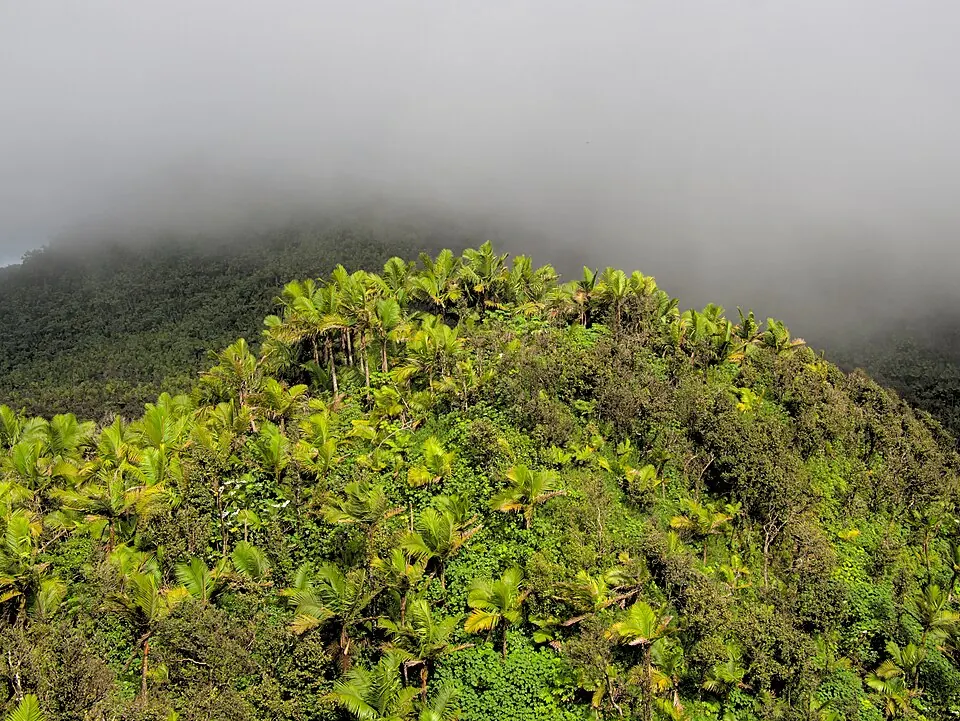
El Yunque National Forest is a United States National Forest, forest, rainforest, and proclaimed forest located in Puerto Rico. Established in 1903 and covering an area of 113 square kilometers, it is one of the sights of the country on this site with a popularity rank of 3 among the country's sights. It is located 39 km from the capital of San Juan.
Planning a visit
Temperatures remain steady throughout the year, with daily highs of 23 °C to 26 °C and daily lows of 19 °C to 22 °C. Monthly rainfall ranges from 146 mm in March to 318 mm in May, with rainy days ranging from about 10 days in February to 23 days in August.
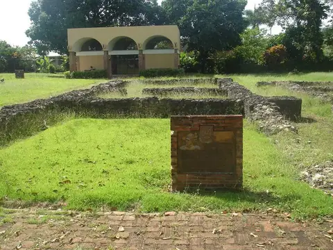
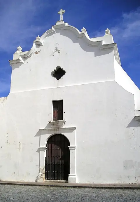
The nearest airport is José Aponte de la Torre Airport in Ceiba, 17 km away, while Luis Munoz Marin International Airport in San Juan is 27 km away. Nearby places to combine with a visit include Caparra Archaeological Site at 36.3 km, Castillo San Cristóbal at 38.4 km, La Fortaleza and San Juan National Historic Site in Puerto Rico at 39.0 km, La Fortaleza at 39.1 km, and San José Church at 39.1 km.
Weather by month
The warmest month is August, with an average high of 26 °C. Rain is spread fairly evenly through the year.
| Jan | Feb | Mar | Apr | May | Jun | Jul | Aug | Sep | Oct | Nov | Dec | |
|---|---|---|---|---|---|---|---|---|---|---|---|---|
| Average high, °C | 23 | 23 | 24 | 24 | 25 | 26 | 26 | 26 | 26 | 26 | 25 | 24 |
| Average low, °C | 19 | 19 | 19 | 20 | 21 | 22 | 22 | 22 | 22 | 22 | 21 | 20 |
| Rainfall, mm | 204 | 154 | 146 | 224 | 318 | 264 | 281 | 303 | 308 | 301 | 317 | 263 |
| Rainy days | 12 | 10 | 11 | 11 | 17 | 16 | 22 | 23 | 22 | 22 | 20 | 14 |
Temperatures and rainfall: 1981–2010 averages for this spot (4 km grid), from CHELSA. Rainy days: 2015–2024, NASA POWER.