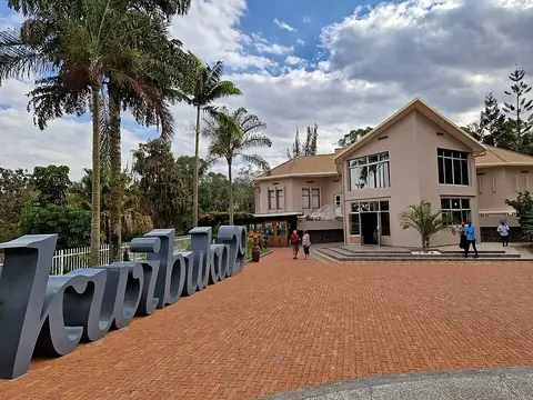
Volcanoes National Park
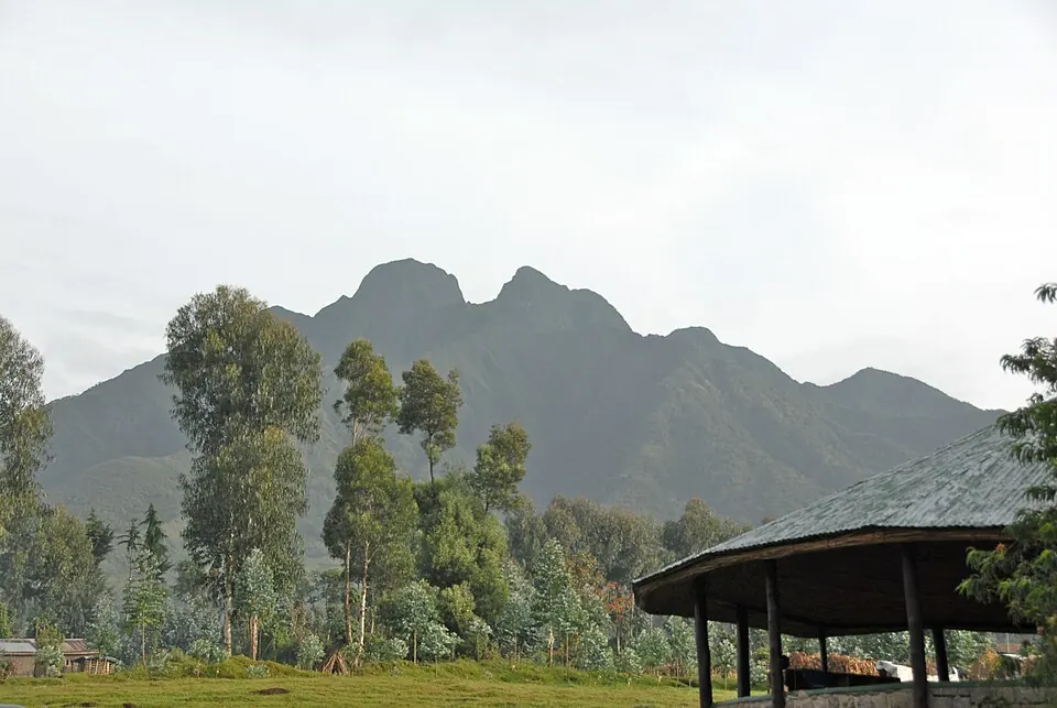
Established in 1969, Volcanoes National Park covers 130 square kilometers across Rwanda's Northern and Western provinces. Designated as an Important Bird Area and a biosphere reserve, this national park is currently the most looked-up sight in the country.
Planning a visit
The climate remains relatively stable throughout the year, with daily high temperatures reaching 14 °C to 15 °C and lows dropping to between 4 °C and 6 °C. Rainfall is a constant factor in the region, but visitors seeking drier weather should plan their trip for June or July. These two months record the lowest precipitation, with only 5 to 8 rainy days. Conversely, the months of March, April, October, and November are the wettest, often experiencing rain on nearly every day of the month.
Volcanoes National Park is situated 88 kilometers from Kigali. Travelers arriving by air can use Kisoro Airport in Uganda, located 32 kilometers away, or Goma International Airport in the Democratic Republic of the Congo, which is 36 kilometers from the park. For those looking to explore a broader area, Mgahinga Gorilla National Park is located 19.3 kilometers away and can be combined with a visit to this park.
Weather by month
Temperatures stay much the same all year, around 10 °C on average. The wettest is October, with about 306 mm of rain.
| Jan | Feb | Mar | Apr | May | Jun | Jul | Aug | Sep | Oct | Nov | Dec | |
|---|---|---|---|---|---|---|---|---|---|---|---|---|
| Average high, °C | 14 | 15 | 15 | 14 | 14 | 14 | 14 | 14 | 14 | 14 | 14 | 14 |
| Average low, °C | 5 | 5 | 6 | 6 | 6 | 5 | 4 | 5 | 5 | 5 | 5 | 5 |
| Rainfall, mm | 172 | 182 | 256 | 268 | 266 | 81 | 55 | 117 | 236 | 306 | 270 | 154 |
| Rainy days | 22 | 20 | 25 | 28 | 21 | 9 | 5 | 11 | 20 | 25 | 28 | 26 |
Temperatures and rainfall: 1981–2010 averages for this spot (4 km grid), from CHELSA. Rainy days: 2015–2024, NASA POWER.