Saint Lucia
Country · Americas, Caribbean
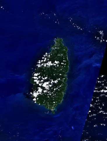
Saint Lucia is a Caribbean country in the Americas with a population of about 180,000 and an area of 617 square kilometers. Its capital is Castries, and it shares maritime borders with Venezuela. The island offers travelers natural landscapes including its highest point, Mount Gimie.
Highlights
The site covers 1 top sight. The main landmark is the Pitons, which is a UNESCO site.
When to go
The climate data covers the capital, Castries. Temperatures remain steady throughout the year with daily highs of 27 °C to 29 °C and lows of 24 °C to 25 °C. Rainfall varies by month. February and March are drier months with 84 mm and 80 mm of rain and about 4 to 5 rainy days. Months like July, August, September, October, and November experience higher rainfall, ranging from 214 mm to 233 mm, with rainy days occurring on 16 to 19 days per month.
Practical notes
The currency is the Eastern Caribbean dollar. The official language is English. Driving is on the left side of the road. The time zone is UTC−04:00. Electrical plugs are type G, with a voltage of 240.0 V.
Top sights in Saint Lucia

Weather by month
Temperatures stay much the same all year, around 27 °C on average. Rain is spread fairly evenly through the year.
| Jan | Feb | Mar | Apr | May | Jun | Jul | Aug | Sep | Oct | Nov | Dec | |
|---|---|---|---|---|---|---|---|---|---|---|---|---|
| Average high, °C | 27 | 28 | 28 | 29 | 29 | 29 | 29 | 29 | 29 | 29 | 28 | 28 |
| Average low, °C | 24 | 24 | 24 | 24 | 25 | 25 | 25 | 25 | 25 | 25 | 25 | 24 |
| Rainfall, mm | 119 | 84 | 80 | 102 | 132 | 184 | 218 | 229 | 214 | 231 | 233 | 137 |
| Rainy days | 7 | 4 | 5 | 6 | 9 | 16 | 18 | 19 | 16 | 17 | 17 | 9 |
Temperatures and rainfall: 1981–2010 averages for Castries (4 km grid), from CHELSA. Rainy days: 2015–2024, NASA POWER.