Saint Pierre and Miquelon
Territory · Americas, Northern America
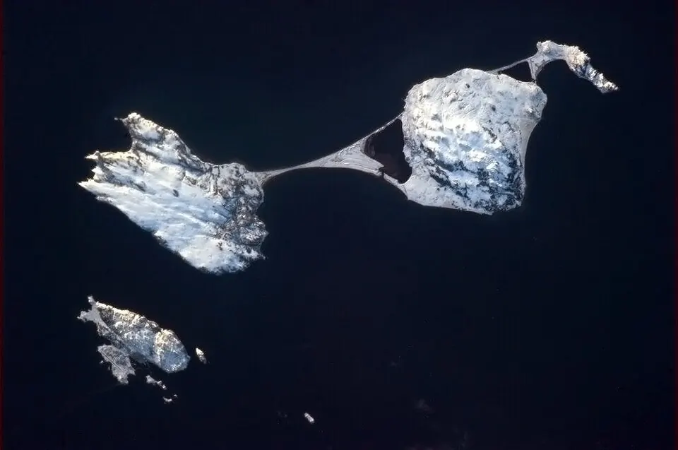
Saint Pierre and Miquelon is a territory located in Northern America in the Americas region, sharing a border by sea with Canada. The capital is Saint-Pierre, and the territory covers an area of 242 km2 with a population of about 6,000.
Highlights
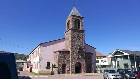
The territory features 1 sight covered by this site. Among the top sights is St. Pierre Cathedral, located in Saint-Pierre. Visitors may also look at the Appalachian Mountains.
When to go
The climate data reflects the capital, Saint-Pierre. Temperatures are averages only. January and February are the coldest months at an average of -2 °C, with rainfall reaching 127 mm and 121 mm respectively. August is the warmest month with an average temperature of 16 °C and 102 mm of rain. Rainfall occurs throughout the year, with November seeing the highest precipitation at 161 mm.
Practical notes
The currency used is the euro. The official language is French. The driving side is right, and the time zone is UTC−03:00.
Top sights in Saint Pierre and Miquelon
Weather by month
The warmest month is August, averaging 16 °C. Rain is spread fairly evenly through the year.
| Jan | Feb | Mar | Apr | May | Jun | Jul | Aug | Sep | Oct | Nov | Dec | |
|---|---|---|---|---|---|---|---|---|---|---|---|---|
| Average temperature, °C | -2 | -2 | -1 | 2 | 4 | 8 | 13 | 16 | 14 | 9 | 5 | 2 |
| Rainfall, mm | 127 | 121 | 115 | 108 | 117 | 117 | 112 | 102 | 154 | 157 | 161 | 143 |
| Rainy days | 16 | 15 | 13 | 13 | 13 | 15 | 17 | 14 | 11 | 13 | 15 | 15 |
Temperatures and rainfall: 1981–2010 averages for Saint-Pierre (4 km grid), from CHELSA. Rainy days: 2015–2024, NASA POWER.
Also worth a look
- Appalachian Mountains