Mount Arafat جَبَل عَرَفَات
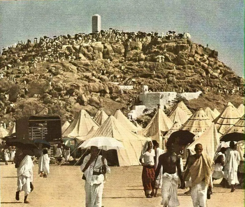
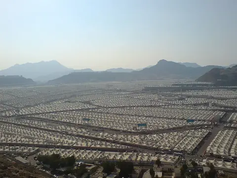
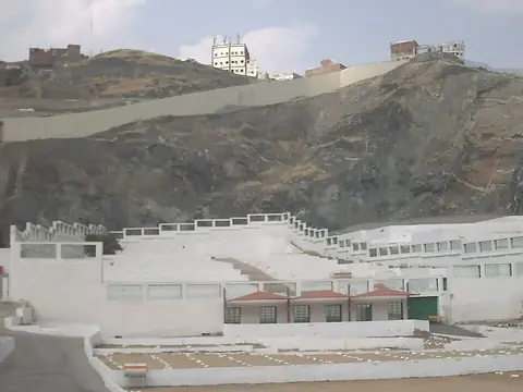
Mount Arafat is a mountain and sacred place located in the Mecca Province of Saudi Arabia, forming part of the Hijaz mountains within the Sarawat Mountains. It stands at an elevation of 454 meters and is significant in Islam. It ranks as one of the most looked-up sights in the country on English Wikipedia.
Planning a visit
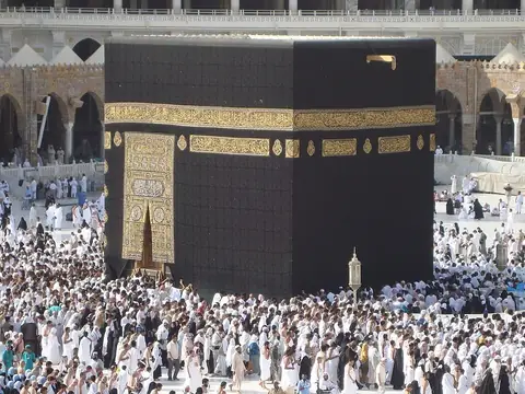
Daily high temperatures range from 27 °C in January and 28 °C in December up to 41 °C in June, with lows between 17 °C and 28 °C throughout the year. Rain is scarce, with monthly precipitation generally staying below 24 mm and occurring on very few days. The nearest airport is Taif International Airport in Taif, located 60 km away, while the capital Riyadh is 780 km away. Nearby places to combine with a trip include Mina at 11.4 km, as well as Maqam Ibrahim, the Kaaba, and Masjid al-Haram, all situated 18 km away, and Jannat al-Mu'alla at 18.4 km.
Weather by month
The warmest month is June, with an average high of 41 °C. Rain is spread fairly evenly through the year.
| Jan | Feb | Mar | Apr | May | Jun | Jul | Aug | Sep | Oct | Nov | Dec | |
|---|---|---|---|---|---|---|---|---|---|---|---|---|
| Average high, °C | 27 | 29 | 32 | 36 | 39 | 41 | 40 | 39 | 39 | 36 | 32 | 28 |
| Average low, °C | 17 | 17 | 20 | 23 | 26 | 28 | 28 | 28 | 27 | 24 | 21 | 18 |
| Rainfall, mm | 15 | 5 | 16 | 15 | 10 | 1 | 2 | 13 | 8 | 18 | 24 | 17 |
| Rainy days | 2 | 1 | 1 | 4 | 2 | 1 | 0 | 2 | 1 | 2 | 3 | 2 |
Temperatures and rainfall: 1981–2010 averages for this spot (4 km grid), from CHELSA. Rainy days: 2015–2024, NASA POWER.