Pulau Ubin
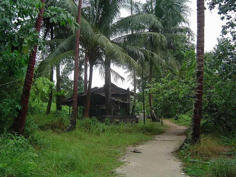
The island of Pulau Ubin is in the North-East Region of Singapore and is part of the Malay Archipelago. It has an area of 10 km2, is 8000 m long, and has an elevation of 56 m. It is the 14th most looked-up sight in Singapore on English Wikipedia.
Planning a visit
The island's climate features daily highs ranging from 28 °C to 29 °C and daily lows between 24 °C and 26 °C. February is the driest month, with about 132 mm of rain and 17 rainy days. The wettest months are November and December, which see about 268 mm to 332 mm of rain and 28 to 29 rainy days. Other months like March and April see about 208 mm and 202 mm of rain, while June sees about 156 mm and July sees about 163 mm.
Pulau Ubin is 22 km from the capital, Singapore, and 8 km from Singapore Changi Airport. It is located near several other sites, including Little India (17 km), The Istana (17.8 km), Gardens by the Bay (18 km), Fort Canning Hill (18.4 km), and the Merlion (18.5 km).
Weather by month
Temperatures stay much the same all year, around 27 °C on average. The wettest is December, with about 332 mm of rain.
| Jan | Feb | Mar | Apr | May | Jun | Jul | Aug | Sep | Oct | Nov | Dec | |
|---|---|---|---|---|---|---|---|---|---|---|---|---|
| Average high, °C | 28 | 29 | 29 | 29 | 29 | 29 | 29 | 29 | 29 | 29 | 29 | 28 |
| Average low, °C | 24 | 25 | 25 | 25 | 26 | 26 | 25 | 25 | 25 | 25 | 25 | 24 |
| Rainfall, mm | 245 | 132 | 208 | 202 | 198 | 156 | 163 | 169 | 192 | 196 | 268 | 332 |
| Rainy days | 24 | 17 | 22 | 27 | 29 | 27 | 25 | 25 | 24 | 28 | 29 | 28 |
Temperatures and rainfall: 1981–2010 averages for this spot (4 km grid), from CHELSA. Rainy days: 2015–2024, NASA POWER.