Tugela Falls
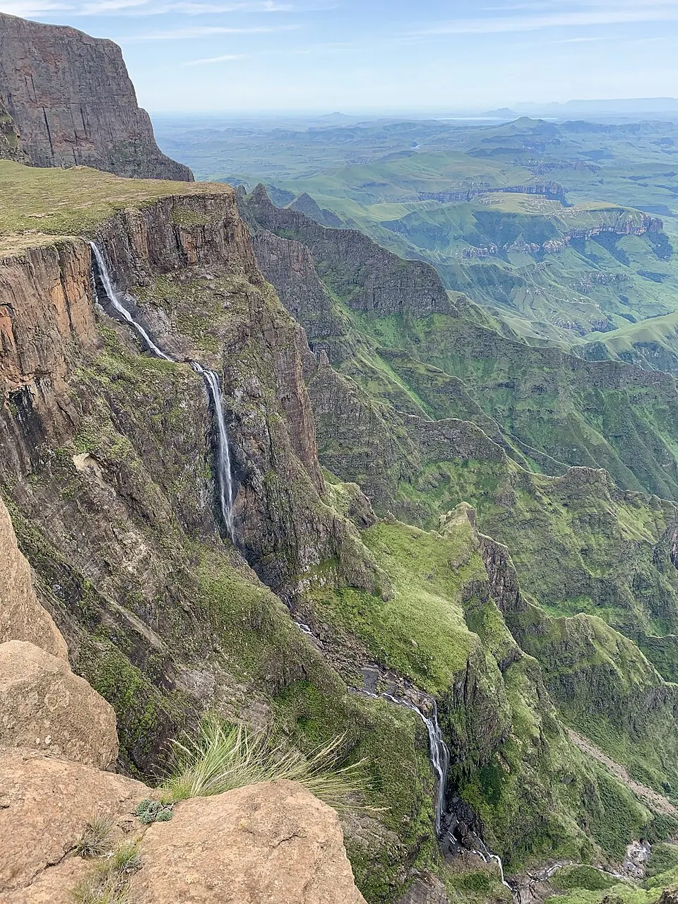
Tugela Falls is a waterfall located in the Drakensberg mountain range of KwaZulu-Natal, South Africa, forming part of the Tugela River at an elevation of 2925 m and a height of 948 m. It is one of the most looked-up sights in the country, ranking 9th among the country's sights on English Wikipedia.
Planning a visit
The warmest months are January and February with daily highs of 17 °C and 16 °C, though these months also see the heaviest rain, with January experiencing 282 mm of rain on about 24 days. The driest and coldest conditions occur in June and July, with July reaching a low of -6 °C and only 12 mm of rain on about 2 days.
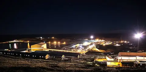
The nearest airport is Moshoeshoe I International Airport in Maseru, Lesotho, located 152 km away. The waterfall is 341 km from Pretoria. The nearby Letseng diamond mine is located 27.8 km away.
Weather by month
The warmest month is January, with an average high of 17 °C. The wettest is January, with about 282 mm of rain.
| Jan | Feb | Mar | Apr | May | Jun | Jul | Aug | Sep | Oct | Nov | Dec | |
|---|---|---|---|---|---|---|---|---|---|---|---|---|
| Average high, °C | 17 | 16 | 15 | 12 | 10 | 7 | 7 | 9 | 13 | 14 | 15 | 16 |
| Average low, °C | 7 | 7 | 5 | 2 | -2 | -5 | -6 | -4 | 0 | 2 | 4 | 6 |
| Rainfall, mm | 282 | 257 | 204 | 82 | 32 | 22 | 12 | 48 | 56 | 149 | 191 | 228 |
| Rainy days | 24 | 21 | 17 | 11 | 5 | 1 | 2 | 3 | 5 | 10 | 14 | 21 |
Temperatures and rainfall: 1981–2010 averages for this spot (4 km grid), from CHELSA. Rainy days: 2015–2024, NASA POWER.