South Georgia and the South Sandwich Islands
Territory · Americas, South America
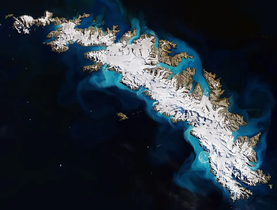
South Georgia and the South Sandwich Islands is a territory in the South Atlantic. With a population of about 35 people and an area of 4,066 square kilometers, it is a remote destination. The territory is administered from King Edward Point.
Highlights
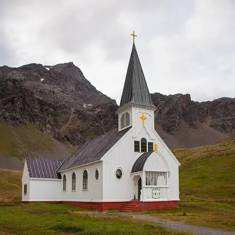
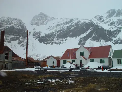
This territory features 2 sights of interest, both located in Grytviken. Travelers can visit the South Georgia Museum, which details the area's history, and the Norwegian Anglican Church. The landscape is defined by Mount Paget, the highest point in the territory.
When to go
The climate at King Edward Point is consistently cold throughout the year. Temperatures average between -3 °C and 3 °C. The warmest months are January and February, with averages of 2 °C and 3 °C respectively. Rain is frequent in all months, with precipitation occurring on at least 21 days each month. The wettest month is March, with 235 mm of rain. November is the driest month, recording 180 mm of rain.
Practical notes
The official language is English, and the currency used is the pound sterling. Vehicles are driven on the left side of the road. The calling code for the territory is +500, and the internet top-level domain is .gs.
Top sights in South Georgia and the South Sandwich Islands
Weather by month
The warmest month is February, averaging 3 °C. Rain is spread fairly evenly through the year.
| Jan | Feb | Mar | Apr | May | Jun | Jul | Aug | Sep | Oct | Nov | Dec | |
|---|---|---|---|---|---|---|---|---|---|---|---|---|
| Average temperature, °C | 2 | 3 | 2 | 1 | -1 | -2 | -3 | -3 | -2 | -1 | 0 | 1 |
| Rainfall, mm | 212 | 214 | 235 | 234 | 225 | 210 | 200 | 198 | 185 | 185 | 180 | 188 |
| Rainy days | 26 | 24 | 26 | 25 | 24 | 24 | 22 | 22 | 21 | 23 | 22 | 24 |
Temperatures and rainfall: 1981–2010 averages for King Edward Point (4 km grid), from CHELSA. Rainy days: 2015–2024, NASA POWER.