Matterhorn
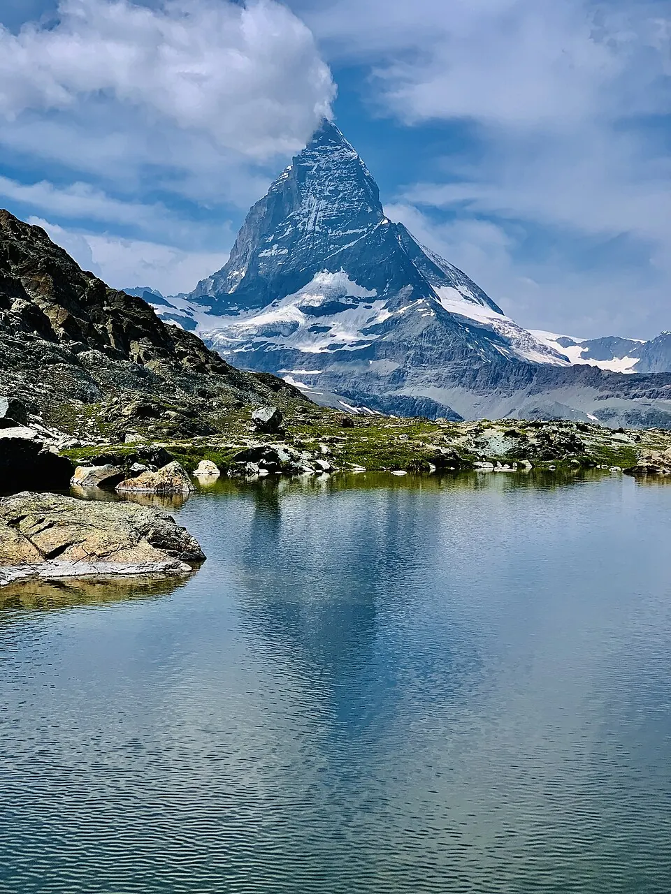
The Matterhorn is a mountain located on the Italy–Switzerland border in the Pennine Alps. Reaching an elevation of 4,478 meters, this peak is composed of metamorphic rock and is the most looked-up sight in Switzerland on English Wikipedia.
Planning a visit
The mountain experiences cold temperatures year-round. Daily highs range from -12 °C in January and December to 10 °C in July and August. Precipitation occurs throughout the year, with the highest rainfall amounts recorded in May at 215 mm over 20 days. Visitors looking for warmer conditions may prefer July and August, though temperatures remain low.
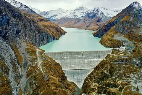
The nearest airport is Turin Airport in Italy, located 86 km away. The mountain is 109 km from Bern, the capital of Switzerland. You can combine a trip to the mountain with a visit to the Grande Dixence Dam, which is 22.8 km away.
Weather by month
The warmest month is July, with an average high of 10 °C. Rain is spread fairly evenly through the year.
| Jan | Feb | Mar | Apr | May | Jun | Jul | Aug | Sep | Oct | Nov | Dec | |
|---|---|---|---|---|---|---|---|---|---|---|---|---|
| Average high, °C | -12 | -10 | -7 | -4 | 1 | 6 | 10 | 10 | 6 | 1 | -7 | -12 |
| Average low, °C | -20 | -19 | -16 | -12 | -7 | -3 | 0 | 0 | -4 | -8 | -15 | -19 |
| Rainfall, mm | 128 | 107 | 142 | 155 | 215 | 169 | 156 | 165 | 152 | 185 | 148 | 137 |
| Rainy days | 13 | 11 | 13 | 13 | 20 | 19 | 14 | 14 | 14 | 14 | 14 | 14 |
Temperatures and rainfall: 1981–2010 averages for this spot (4 km grid), from CHELSA. Rainy days: 2015–2024, NASA POWER.