Khao Yai National Park อุทยานแห่งชาติเขาใหญ่
Thailand UNESCO World Heritage Site
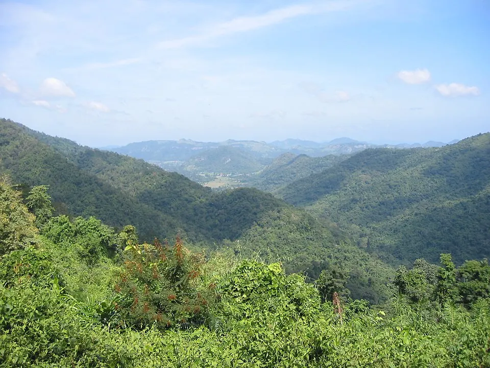
Khao Yai National Park is a nature reserve, an ASEAN Heritage Park, and a national park of Thailand. It is part of the Dong Phayayen-Khao Yai Forest Complex in the Sankamphaeng Range and is recognized as a UNESCO World Heritage Site.
Planning a visit
The park experiences its highest temperatures in April, with daily highs of 29 °C. The wettest months are August and September, which see about 468 mm and 482 mm of rain respectively. For drier conditions, December and January have the lowest rainfall, with about 10 mm and 14 mm.
Khao Yai National Park is 120 km from Bangkok. Travelers can reach the area via Don Mueang International Airport, which is 102 km away. The park is one of the 36 sights of Thailand featured on this website and is ranked 19th among the country's sights in terms of English Wikipedia lookups. It covers an area of 2,172 km2 and receives about 1 million visitors.
Weather by month
The warmest month is April, with an average high of 29 °C. The wettest is September, with about 482 mm of rain.
| Jan | Feb | Mar | Apr | May | Jun | Jul | Aug | Sep | Oct | Nov | Dec | |
|---|---|---|---|---|---|---|---|---|---|---|---|---|
| Average high, °C | 25 | 27 | 28 | 29 | 28 | 26 | 26 | 26 | 26 | 25 | 25 | 24 |
| Average low, °C | 15 | 17 | 18 | 20 | 20 | 20 | 20 | 20 | 19 | 18 | 17 | 15 |
| Rainfall, mm | 14 | 34 | 98 | 214 | 336 | 299 | 371 | 468 | 482 | 237 | 54 | 10 |
| Rainy days | 2 | 4 | 9 | 12 | 21 | 24 | 26 | 28 | 27 | 21 | 7 | 2 |
Temperatures and rainfall: 1981–2010 averages for this spot (4 km grid), from CHELSA. Rainy days: 2015–2024, NASA POWER.