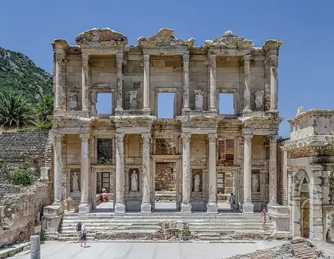
Göbekli Tepe Göbeklitepe
Urfa, Turkey UNESCO World Heritage Site
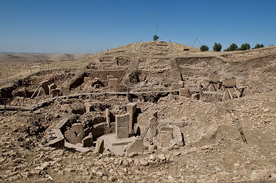
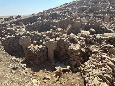
Göbekli Tepe is a Neolithic settlement and a UNESCO World Heritage Site located in the Haliliye district of Şanlıurfa Province, Turkey. Dating back to the 10th millennium BCE, it is one of the most looked-up sights in Turkey.
Planning a visit
The climate at Göbekli Tepe is characterized by hot, dry summers and cool, rainy winters. July and August see daily highs of about 37 °C to 38 °C, while January and February often drop to freezing lows. For more comfortable weather, April, May, and October are suitable months, as they offer moderate temperatures and significantly lower rainfall compared to the winter months.
The site is open Monday through Sunday from 08:30 to 18:30. The entry price is 20 Euro as of August 2024. Visitors can reach the site via Şanlıurfa GAP Airport, which is located 25 km away. Ankara is 609 km from the site. Those interested in further exploration can combine a trip to Göbekli Tepe with a visit to Karahan Tepe, which is situated 37 km away. The site itself covers an area of 1.26 square kilometers and sits at an elevation of 760 meters.
Weather by month
The warmest month is July, with an average high of 38 °C. The wettest is January, with about 94 mm of rain.
| Jan | Feb | Mar | Apr | May | Jun | Jul | Aug | Sep | Oct | Nov | Dec | |
|---|---|---|---|---|---|---|---|---|---|---|---|---|
| Average high, °C | 8 | 10 | 14 | 20 | 26 | 33 | 38 | 37 | 32 | 24 | 16 | 10 |
| Average low, °C | -1 | 0 | 3 | 8 | 13 | 19 | 23 | 22 | 18 | 12 | 6 | 1 |
| Rainfall, mm | 94 | 89 | 84 | 54 | 37 | 6 | 1 | 1 | 6 | 36 | 63 | 87 |
| Rainy days | 11 | 8 | 10 | 6 | 6 | 1 | 0 | 0 | 1 | 4 | 6 | 9 |
Temperatures and rainfall: 1981–2010 averages for this spot (4 km grid), from CHELSA. Rainy days: 2015–2024, NASA POWER.