Hattusa
Boğazkale, Turkey UNESCO World Heritage Site
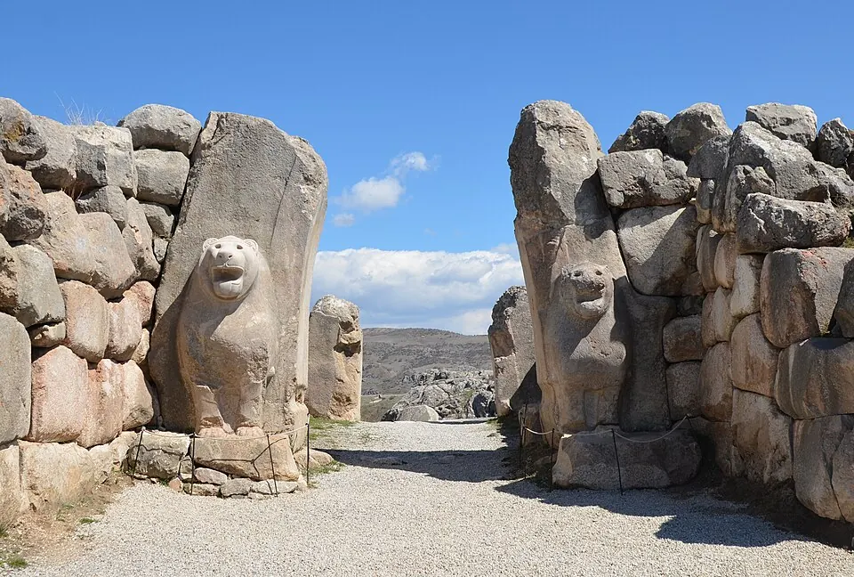
Hattusa is an archaeological site located in the Boğazkale district of Turkey. It is part of the UNESCO World Heritage Site Hattusha: the Hittite Capital and covers an area of 2.61 km2. It is the 17th most looked-up sight in Turkey on English Wikipedia and is one of the 96 sights in the country listed on this site.
Planning a visit
The weather varies throughout the year. July and August are the warmest months, with daily highs of 28 °C and lows of 14 °C. These months are also the driest, with 3 rainy days per month. The coldest months are January and February, with daily highs of 4 °C to 5 °C and lows of -5 °C. December has the most rain, with 59 mm of rain over 9 days. April has daily highs of 16 °C and lows of 4 °C with 8 rainy days.
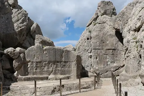
The site is 152 km from Ankara. The nearest airports are Amasya Merzifon Airport, 118 km away, and Esenboğa International Airport, 138 km away. A visit to the site can be combined with Yazılıkaya, which is 1.6 km away.
Weather by month
The warmest month is August, with an average high of 29 °C. Rain is spread fairly evenly through the year.
| Jan | Feb | Mar | Apr | May | Jun | Jul | Aug | Sep | Oct | Nov | Dec | |
|---|---|---|---|---|---|---|---|---|---|---|---|---|
| Average high, °C | 4 | 5 | 10 | 16 | 20 | 24 | 28 | 29 | 24 | 18 | 11 | 5 |
| Average low, °C | -5 | -5 | -2 | 4 | 8 | 11 | 14 | 14 | 11 | 6 | 0 | -3 |
| Rainfall, mm | 47 | 44 | 46 | 54 | 56 | 45 | 18 | 12 | 17 | 32 | 51 | 59 |
| Rainy days | 11 | 8 | 12 | 8 | 13 | 13 | 3 | 3 | 4 | 4 | 6 | 9 |
Temperatures and rainfall: 1981–2010 averages for this spot (4 km grid), from CHELSA. Rainy days: 2015–2024, NASA POWER.