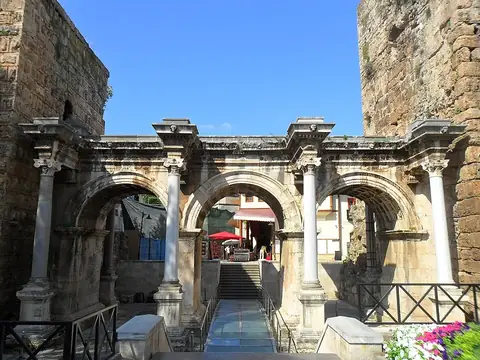
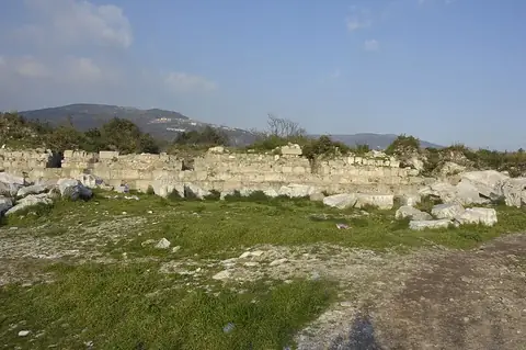
Kaymakli underground city
Turkey UNESCO World Heritage Site
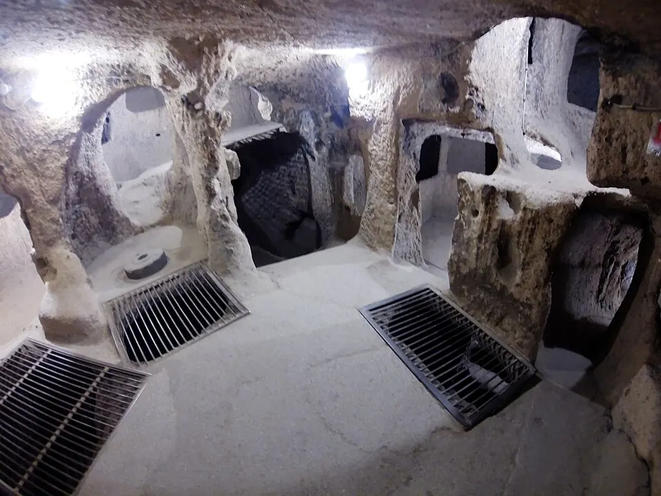
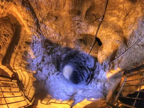
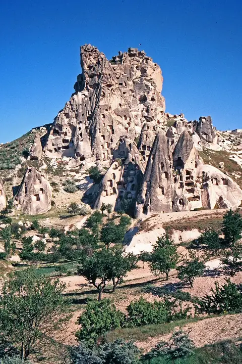
Kaymakli underground city is an archaeological site and underground city that is part of the Göreme National Park and the Rock Sites of Cappadocia. This site is a UNESCO World Heritage Site and is one of the 96 sights of Turkey featured on this website.
Planning a visit
The warmest months are July and August, with daily highs of 28 °C and very little rain. For cooler weather, visit in May when highs reach 19 °C, or in October when highs are 17 °C. January and February are the coldest months, with lows reaching -7 °C. Rainfall is highest in May with about 69 mm.
Nevşehir Kapadokya Airport is the nearest airport, located 40 km away. The site is 233 km from Ankara. Travelers can combine a visit to Kaymakli underground city with the Derinkuyu underground city, which is about 10 km away, or Göreme Historical National Park, located 23.5 km away.
Weather by month
The warmest month is August, with an average high of 28 °C. The wettest is May, with about 69 mm of rain.
| Jan | Feb | Mar | Apr | May | Jun | Jul | Aug | Sep | Oct | Nov | Dec | |
|---|---|---|---|---|---|---|---|---|---|---|---|---|
| Average high, °C | 3 | 4 | 9 | 14 | 19 | 24 | 28 | 28 | 24 | 17 | 10 | 5 |
| Average low, °C | -7 | -7 | -4 | 1 | 6 | 10 | 12 | 12 | 9 | 4 | -2 | -5 |
| Rainfall, mm | 39 | 40 | 46 | 55 | 69 | 36 | 13 | 6 | 13 | 40 | 43 | 48 |
| Rainy days | 10 | 7 | 13 | 9 | 11 | 10 | 2 | 2 | 3 | 3 | 5 | 8 |
Temperatures and rainfall: 1981–2010 averages for this spot (4 km grid), from CHELSA. Rainy days: 2015–2024, NASA POWER.