Mount Ararat Ağrı dağı
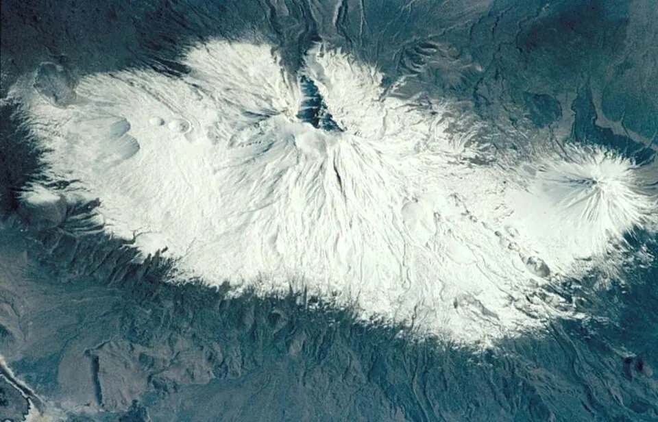
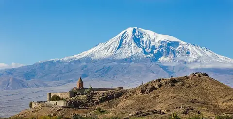
Mount Ararat is a mountain, volcano, and stratovolcano located in Ağrı Province, Turkey. It stands in the Armenian Highlands at an elevation of 5137 m. It is one of the most looked-up sights in Turkey, ranking 8th among the country's sights on English Wikipedia.
Planning a visit
July and August offer the highest daily temperatures at 8 °C with lows of -4 °C and the fewest rainy days at 3 to 5 per month. The remaining months experience sub-zero highs and extensive rain or snow, with May seeing the highest precipitation at 177 mm across about 15 days. January and February are the coldest months, with daily highs around -17 °C to -18 °C and lows reaching -28 °C to -30 °C. The site is located 978 km from Ankara and sits in Doğubayazıt. The nearest airport is Iğdır Airport in Turkey, 47 km away, while Zvartnots International Airport in Yerevan, Armenia, is 50 km away.
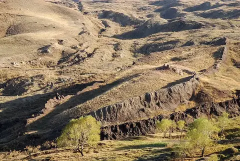
Nearby sights include the Durupınar site at 29.6 km and Khor Virap at 30.8 km.
Weather by month
The warmest month is July, with an average high of 8 °C. The wettest is May, with about 177 mm of rain.
| Jan | Feb | Mar | Apr | May | Jun | Jul | Aug | Sep | Oct | Nov | Dec | |
|---|---|---|---|---|---|---|---|---|---|---|---|---|
| Average high, °C | -18 | -17 | -11 | -5 | 0 | 4 | 8 | 8 | 4 | -2 | -10 | -16 |
| Average low, °C | -29 | -28 | -23 | -17 | -12 | -7 | -4 | -4 | -8 | -13 | -20 | -26 |
| Rainfall, mm | 43 | 51 | 72 | 124 | 177 | 132 | 63 | 40 | 49 | 92 | 61 | 41 |
| Rainy days | 5 | 4 | 9 | 8 | 15 | 9 | 5 | 3 | 3 | 8 | 5 | 5 |
Temperatures and rainfall: 1981–2010 averages for this spot (4 km grid), from CHELSA. Rainy days: 2015–2024, NASA POWER.