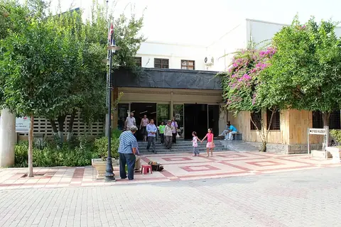
Mount Tendürek
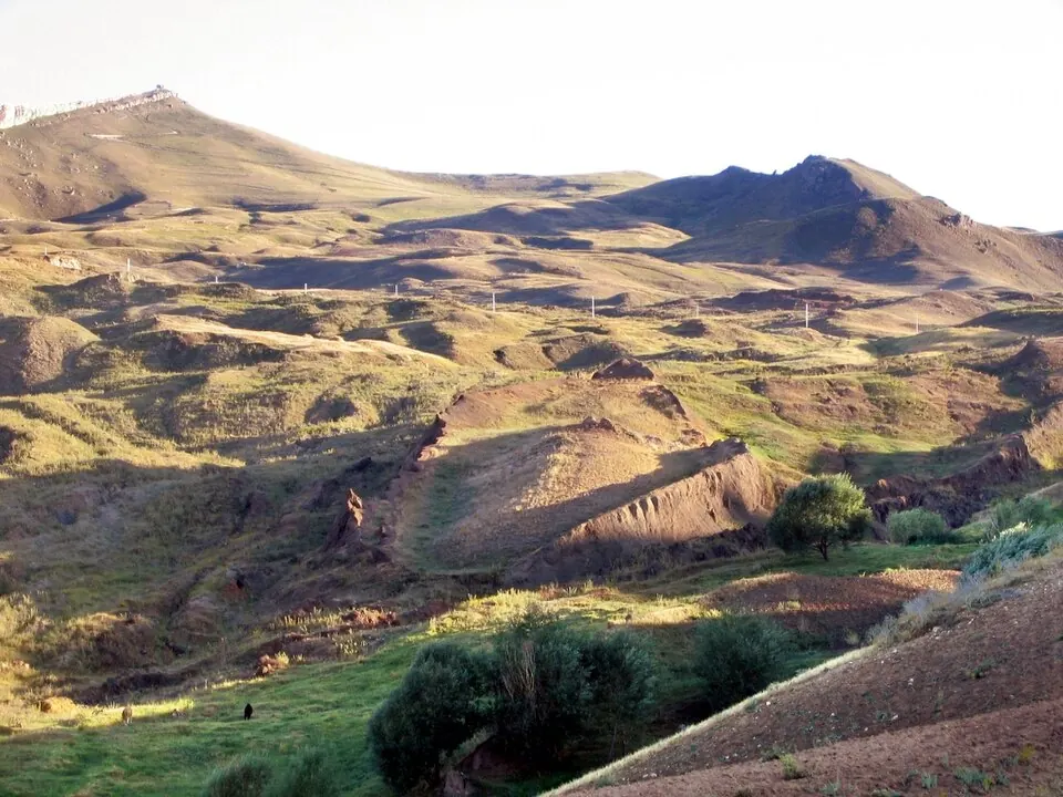
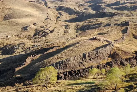
Mount Tendürek is a volcano and mountain located in Turkey. It reaches an elevation of 3,533 meters and is situated within the Armenian Highlands.
Planning a visit
The best time to visit is during the summer months of July and August, when daily highs reach about 18 °C and rainfall is at its lowest, with only about 3 or 4 rainy days per month. In contrast, the winter months are cold, with January seeing average lows of -22 °C and significant snow or rain. The wettest period occurs from April to May.
To reach the mountain, you can fly into Iğdır Airport, which is 69 km away, or Zvartnots International Airport in Yerevan, Armenia, which is 99 km from the site. Mount Tendürek is located 946 km from Ankara. Travelers can also visit the Durupınar site, which is 33 km away.
Weather by month
The warmest month is August, with an average high of 18 °C. The wettest is May, with about 125 mm of rain.
| Jan | Feb | Mar | Apr | May | Jun | Jul | Aug | Sep | Oct | Nov | Dec | |
|---|---|---|---|---|---|---|---|---|---|---|---|---|
| Average high, °C | -9 | -8 | -4 | 2 | 7 | 14 | 18 | 18 | 13 | 6 | -2 | -7 |
| Average low, °C | -22 | -20 | -15 | -10 | -5 | 0 | 5 | 5 | 0 | -6 | -13 | -19 |
| Rainfall, mm | 53 | 63 | 82 | 105 | 125 | 80 | 46 | 30 | 30 | 74 | 76 | 54 |
| Rainy days | 6 | 5 | 10 | 8 | 14 | 8 | 4 | 3 | 3 | 8 | 6 | 6 |
Temperatures and rainfall: 1981–2010 averages for this spot (4 km grid), from CHELSA. Rainy days: 2015–2024, NASA POWER.