Cotswolds
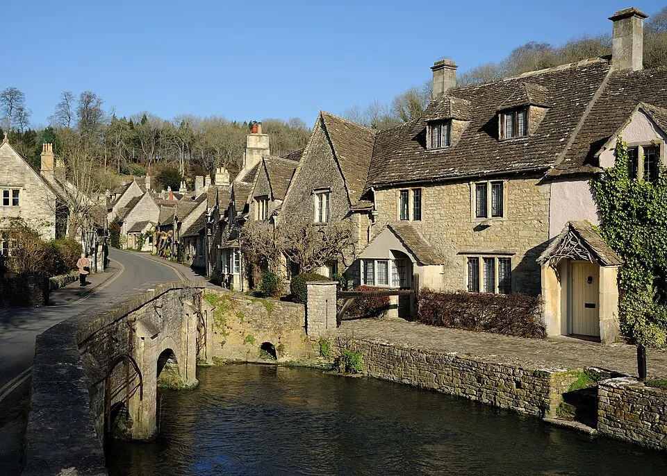
The Cotswolds is a protected area, hill, and National Landscape located in Wiltshire, established in 1966. It reaches an elevation of 330 meters and is built from limestone. It is one of the most looked-up sights in the United Kingdom on English Wikipedia.
Planning a visit
The area experiences warmer temperatures from June to August, with daily highs of 18 °C to 20 °C and lows of 10 °C to 12 °C, alongside rain across 12 to 13 days per month. Colder conditions occur from November to February, with highs of 6 °C to 9 °C and lows of 1 °C to 4 °C. October is the wettest month, with 92 mm of rain over about 14 days.
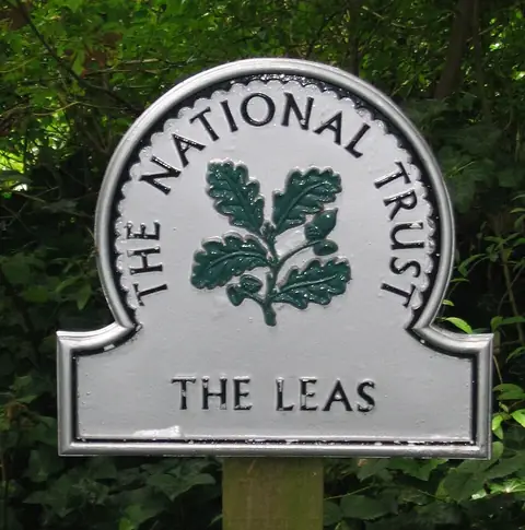
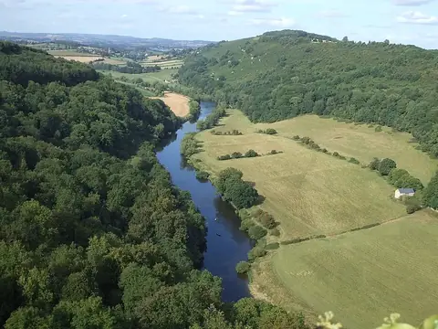
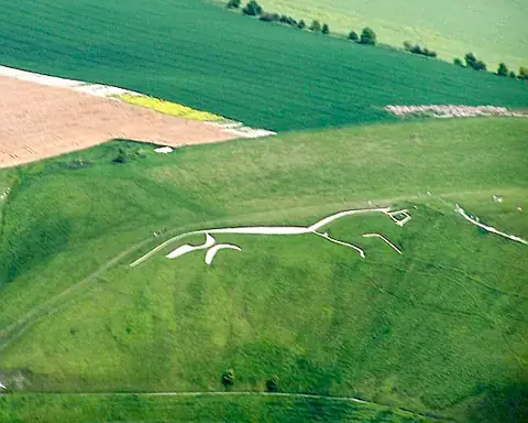
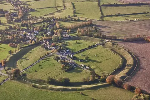
The nearest airport is Bristol Airport, located 66 km away, and the area is 135 km from London. Nearby places to visit include National Trust at 30.9 km, Forest of Dean at 34.9 km, Uffington White Horse at 40.6 km, Avebury at 43.1 km, and Blenheim Palace at 46.4 km.
Weather by month
The warmest month is July, with an average high of 20 °C. Rain is spread fairly evenly through the year.
| Jan | Feb | Mar | Apr | May | Jun | Jul | Aug | Sep | Oct | Nov | Dec | |
|---|---|---|---|---|---|---|---|---|---|---|---|---|
| Average high, °C | 6 | 7 | 9 | 12 | 15 | 18 | 20 | 19 | 17 | 13 | 9 | 6 |
| Average low, °C | 1 | 1 | 2 | 3 | 7 | 10 | 12 | 12 | 10 | 7 | 4 | 2 |
| Rainfall, mm | 83 | 58 | 66 | 64 | 74 | 65 | 66 | 70 | 77 | 92 | 87 | 87 |
| Rainy days | 14 | 12 | 15 | 11 | 12 | 12 | 13 | 12 | 13 | 14 | 15 | 16 |
Temperatures and rainfall: 1981–2010 averages for this spot (4 km grid), from CHELSA. Rainy days: 2015–2024, NASA POWER.