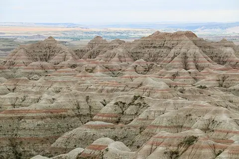
Big Bend National Park
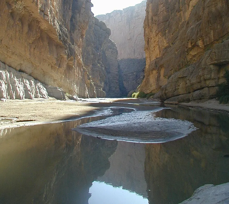
Big Bend National Park is a biosphere reserve, an International Dark Sky Park, and an unincorporated community in the United States. The park covers 3091 km2 at an elevation of 1462 m.
Planning a visit
The climate varies throughout the year. In the summer, specifically June, July, and August, temperatures reach highs of 29 to 31 °C. This period also has the highest rainfall, with July seeing 81 mm over about 6 rainy days and August seeing 78 mm over about 8 rainy days. December and January are cooler, with daytime highs of 16 °C and lows between 1 and 2 °C. Spring and autumn months, such as March or October, offer moderate temperatures and fewer rainy days, typically around 2 to 5 days per month.
To reach the park, travelers can fly to General Roberto Fierro Villalobos International Airport in Chihuahua, Mexico, which is 271 km away. The park is located 2630 km from Washington, D.C. In 2020, the park recorded about 394,000 visitors. It is one of the most looked-up sights in the country on English Wikipedia.
Weather by month
The warmest month is June, with an average high of 31 °C. The wettest is July, with about 81 mm of rain.
| Jan | Feb | Mar | Apr | May | Jun | Jul | Aug | Sep | Oct | Nov | Dec | |
|---|---|---|---|---|---|---|---|---|---|---|---|---|
| Average high, °C | 16 | 18 | 22 | 26 | 29 | 31 | 30 | 29 | 27 | 24 | 20 | 16 |
| Average low, °C | 1 | 3 | 6 | 10 | 15 | 18 | 18 | 18 | 16 | 11 | 6 | 2 |
| Rainfall, mm | 19 | 17 | 12 | 22 | 44 | 65 | 81 | 78 | 54 | 51 | 17 | 13 |
| Rainy days | 2 | 2 | 2 | 2 | 6 | 7 | 6 | 8 | 7 | 5 | 2 | 2 |
Temperatures and rainfall: 1981–2010 averages for this spot (4 km grid), from CHELSA. Rainy days: 2015–2024, NASA POWER.