Cascade Range
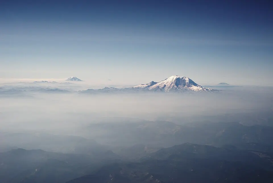
The Cascade Range is a mountain range in the United States that covers an area of about 150,000 km2. It is one of the 120 sights of the United States listed on this site and ranks 72nd among the country's sights for English Wikipedia lookups.
Planning a visit
The best months to visit are July and August, when temperatures are highest and rainfall is at its lowest, with about 3 to 5 rainy days. From January to March, the range is cold with daily highs around -14 °C and significant rainfall. November and December are the wettest months, seeing about 600 to 700 mm of rain and roughly 21 to 22 rainy days.
Tacoma Narrows Airport is the nearest airport, located 77 km away, while Seattle–Tacoma International Airport is 78 km from the range. The site is approximately 3,697 km from Washington, D.C.
Weather by month
The warmest month is August, with an average high of 5 °C. The wettest is November, with about 714 mm of rain.
| Jan | Feb | Mar | Apr | May | Jun | Jul | Aug | Sep | Oct | Nov | Dec | |
|---|---|---|---|---|---|---|---|---|---|---|---|---|
| Average high, °C | -13 | -13 | -12 | -9 | -5 | -1 | 4 | 5 | 2 | -5 | -12 | -14 |
| Average low, °C | -19 | -20 | -20 | -19 | -16 | -12 | -8 | -8 | -10 | -14 | -19 | -20 |
| Rainfall, mm | 605 | 434 | 434 | 305 | 245 | 201 | 76 | 72 | 172 | 415 | 714 | 636 |
| Rainy days | 21 | 19 | 19 | 18 | 15 | 11 | 3 | 5 | 9 | 15 | 20 | 22 |
Temperatures and rainfall: 1981–2010 averages for this spot (4 km grid), from CHELSA. Rainy days: 2015–2024, NASA POWER.