Lake Ontario
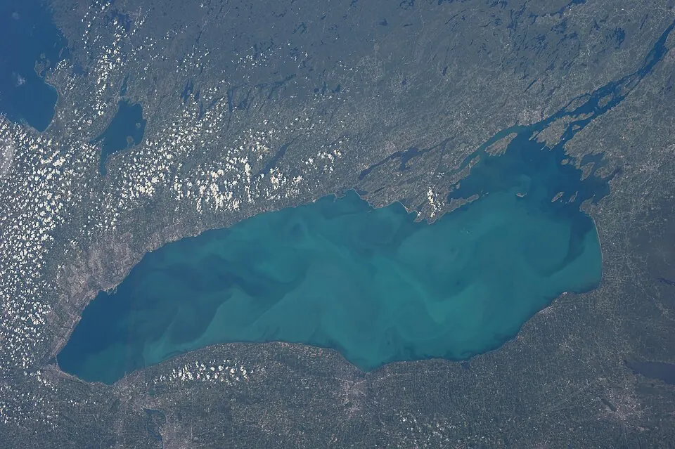
Lake Ontario is one of the Great Lakes, positioned along the border between Canada and the United States. Covering 18,529 square kilometers, it is the second most looked-up sight in the United States on English Wikipedia.
Planning a visit
The warmest weather occurs from June through September, with daily highs ranging from 17 °C to 24 °C. During the winter months of January and February, temperatures drop below freezing, with highs between -1 °C and 0 °C. Rain occurs throughout the year, with the highest rainfall recorded in November at 95 mm and December at 86 mm.
The lake is located 545 kilometers from Washington, D.C. Travelers can reach the area via the Frederick Douglass Greater Rochester International Airport, which is 76 kilometers away, or Peterborough Regional Airport, located 60 kilometers from the lake.
Weather by month
The warmest month is August, with an average high of 24 °C. Rain is spread fairly evenly through the year.
| Jan | Feb | Mar | Apr | May | Jun | Jul | Aug | Sep | Oct | Nov | Dec | |
|---|---|---|---|---|---|---|---|---|---|---|---|---|
| Average high, °C | 0 | -1 | 2 | 6 | 10 | 17 | 22 | 24 | 21 | 14 | 9 | 3 |
| Average low, °C | -5 | -6 | -4 | 2 | 7 | 14 | 20 | 21 | 17 | 11 | 5 | -1 |
| Rainfall, mm | 74 | 63 | 67 | 81 | 80 | 75 | 72 | 75 | 93 | 81 | 95 | 86 |
| Rainy days | 15 | 13 | 12 | 14 | 12 | 16 | 15 | 14 | 13 | 16 | 14 | 17 |
Temperatures and rainfall: 1981–2010 averages for this spot (4 km grid), from CHELSA. Rainy days: 2015–2024, NASA POWER.