Uruguay
Country · Americas, South America
Uruguay is a country in South America, bordered by Argentina and Brazil by land or sea. The capital is Montevideo, and the country has an area of 176,215 sq km and a population of about 3.4 million in 2025.
Highlights
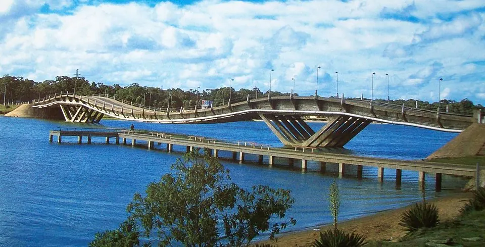
The site covers 10 top sights, concentrated around the city of Montevideo. Notable architectural and cultural landmarks include Plaza Independencia, Palacio Salvo, the Solís Theatre, the Legislative Palace of Uruguay, the Executive Tower, the Telecommunications Tower, Residencia de Suárez, and Carrasco. Other sights include the Fortaleza del Cerro and the Leonel Viera Bridge.
Food and drink
Local dishes and items include Chivito, Dulce de leche, Pastafrola, Picada, Cabrito, Chajá, and Colonia cheese.
When to go
The climate data refers to the capital, Montevideo, with daily highs and lows. January and February are warm with daily highs of 24 °C and lows of 20 °C, accompanied by rain on 8 to 10 days. July is the coolest month with daily highs of 13 °C and lows of 9 °C, and rain on about 9 days. March and April see higher rainfall totals of 109 mm and 101 mm respectively.
Practical notes
The currency is the Uruguayan peso. The official language is Spanish. Driving is on the right side. The time zone is UTC−03:00. Plugs used are types C, F, I, and L, operating at a voltage of 230.0 V.
Cities
Food and drink to try in Uruguay
- Dulce de leche
- Chivito
- Pastafrola
- Picada
- Cabrito
- Chajá
- Colonia cheese
Top sights in Uruguay
 Leonel Viera BridgeMaldonado
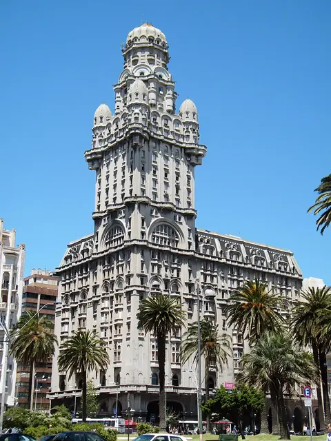 Palacio SalvoMontevideo
 Carrasco, MontevideoMontevideo
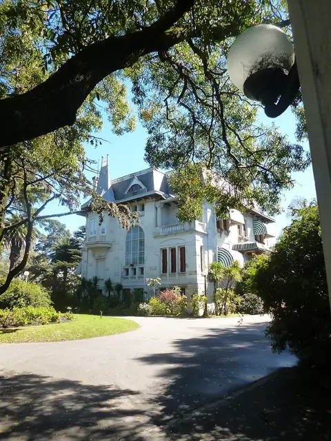 Residencia de SuárezMontevideo
 Legislative Palace of UruguayMontevideo
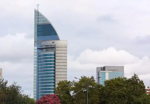 Telecommunications TowerMontevideo
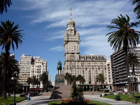 Plaza IndependenciaMontevideo
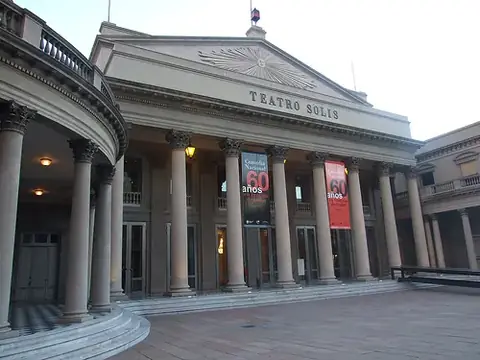 Solís TheatreMontevideo
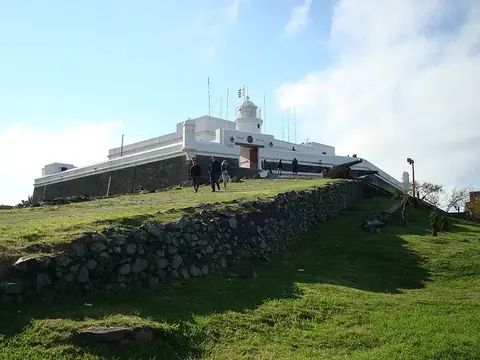 Fortaleza del CerroMontevideo
 Executive Tower, MontevideoMontevideo
Weather by month
The warmest month is January, with an average high of 25 °C. Rain is spread fairly evenly through the year.
| Jan | Feb | Mar | Apr | May | Jun | Jul | Aug | Sep | Oct | Nov | Dec | |
|---|---|---|---|---|---|---|---|---|---|---|---|---|
| Average high, °C | 25 | 24 | 23 | 20 | 17 | 14 | 13 | 14 | 15 | 18 | 20 | 23 |
| Average low, °C | 20 | 20 | 19 | 16 | 13 | 10 | 9 | 10 | 11 | 13 | 16 | 18 |
| Rainfall, mm | 85 | 89 | 109 | 101 | 91 | 87 | 79 | 78 | 80 | 103 | 93 | 75 |
| Rainy days | 10 | 8 | 10 | 9 | 6 | 7 | 9 | 8 | 8 | 9 | 7 | 8 |
Temperatures and rainfall: 1981–2010 averages for Montevideo (4 km grid), from CHELSA. Rainy days: 2015–2024, NASA POWER.
Also worth a look
- Andes Museum 1972
- Artigas Mausoleum
- Iglesia de Cristo Obrero y Nuestra Señora de Lourdes
- Mercado del Puerto
- Montevideo Metropolitan Cathedral
- Obelisk of Montevideo
- Quebrada de los Cuervos
- World Trade Center Montevideo