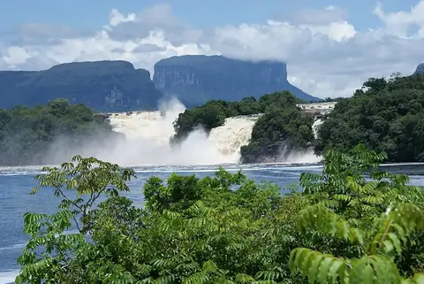
Mount Roraima
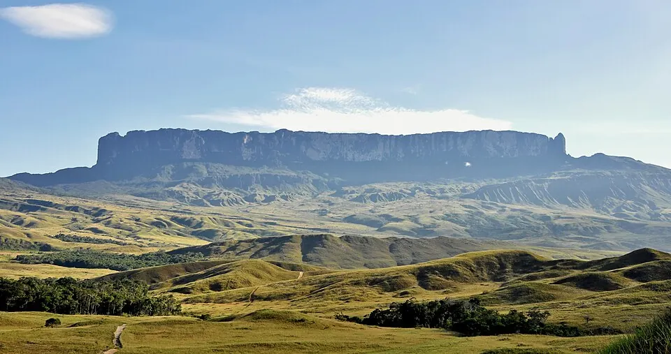
Mount Roraima is a sandstone mountain and tepui located in the Pakaraima Mountains, spanning areas including Bolívar and Cuyuni-Mazaruni. Reaching an elevation of 2,810 m and covering an area of 50 km2, it is one of the sights in Venezuela. It is the most looked-up sight of the country on English Wikipedia.
Planning a visit
The climate features daily highs and lows throughout the year. Months like February have lower rainfall with 93 mm on about 8 days, while June experiences higher precipitation with 366 mm on about 27 days. Temperatures remain fairly consistent, with highs between 17 °C and 19 °C and lows between 10 °C and 11 °C.
The nearest airport is Santa Elena de Uairén Airport, located 78 km away. The international hub at Atlas Brasil Cantanhede International Airport in Boa Vista is 255 km away, and the site is 902 km from Caracas.
Weather by month
Temperatures stay much the same all year, around 14 °C on average. The wettest is June, with about 366 mm of rain.
| Jan | Feb | Mar | Apr | May | Jun | Jul | Aug | Sep | Oct | Nov | Dec | |
|---|---|---|---|---|---|---|---|---|---|---|---|---|
| Average high, °C | 17 | 18 | 18 | 18 | 18 | 17 | 17 | 18 | 19 | 19 | 18 | 17 |
| Average low, °C | 10 | 10 | 10 | 11 | 11 | 11 | 10 | 10 | 10 | 11 | 11 | 11 |
| Rainfall, mm | 120 | 93 | 112 | 191 | 328 | 366 | 345 | 290 | 168 | 188 | 190 | 138 |
| Rainy days | 8 | 8 | 9 | 13 | 25 | 27 | 27 | 18 | 12 | 10 | 12 | 13 |
Temperatures and rainfall: 1981–2010 averages for this spot (4 km grid), from CHELSA. Rainy days: 2015–2024, NASA POWER.