Hindu Kush
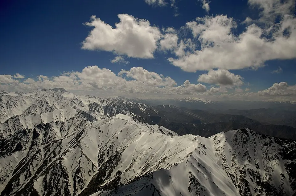
The Hindu Kush is a mountain range in Afghanistan, part of the extensive Alpide belt. Reaching an elevation of about 7,700 meters, it is the second most looked-up sight in Afghanistan among the sights on this site.
Planning a visit
The mountain range experiences cold temperatures throughout the year. Winter months from December through February see daily highs ranging from -4 °C to 0 °C, with lows dropping as far as -14 °C. Warmer conditions occur from June through August, when daily highs reach between 18 °C and 20 °C and lows stay between 6 °C and 9 °C. Rainfall is frequent, with the highest number of rainy days occurring in July and August at about 14 to 15 days each month.
To reach the Hindu Kush, travelers can fly into Bacha Khan International Airport in Peshawar, Pakistan, which is 121 kilometers away. The range is located 175 kilometers from Kabul, the capital of Afghanistan.
Weather by month
The warmest month is July, with an average high of 20 °C. The wettest is March, with about 213 mm of rain.
| Jan | Feb | Mar | Apr | May | Jun | Jul | Aug | Sep | Oct | Nov | Dec | |
|---|---|---|---|---|---|---|---|---|---|---|---|---|
| Average high, °C | -4 | -3 | 3 | 10 | 15 | 20 | 20 | 18 | 16 | 11 | 6 | 0 |
| Average low, °C | -14 | -13 | -9 | -4 | 1 | 6 | 9 | 9 | 4 | -2 | -7 | -12 |
| Rainfall, mm | 104 | 151 | 213 | 190 | 131 | 95 | 170 | 176 | 96 | 63 | 50 | 76 |
| Rainy days | 10 | 8 | 12 | 14 | 11 | 9 | 14 | 15 | 8 | 7 | 6 | 4 |
Temperatures and rainfall: 1981–2010 averages for this spot (4 km grid), from CHELSA. Rainy days: 2015–2024, NASA POWER.