M'zab
Algeria UNESCO World Heritage Site
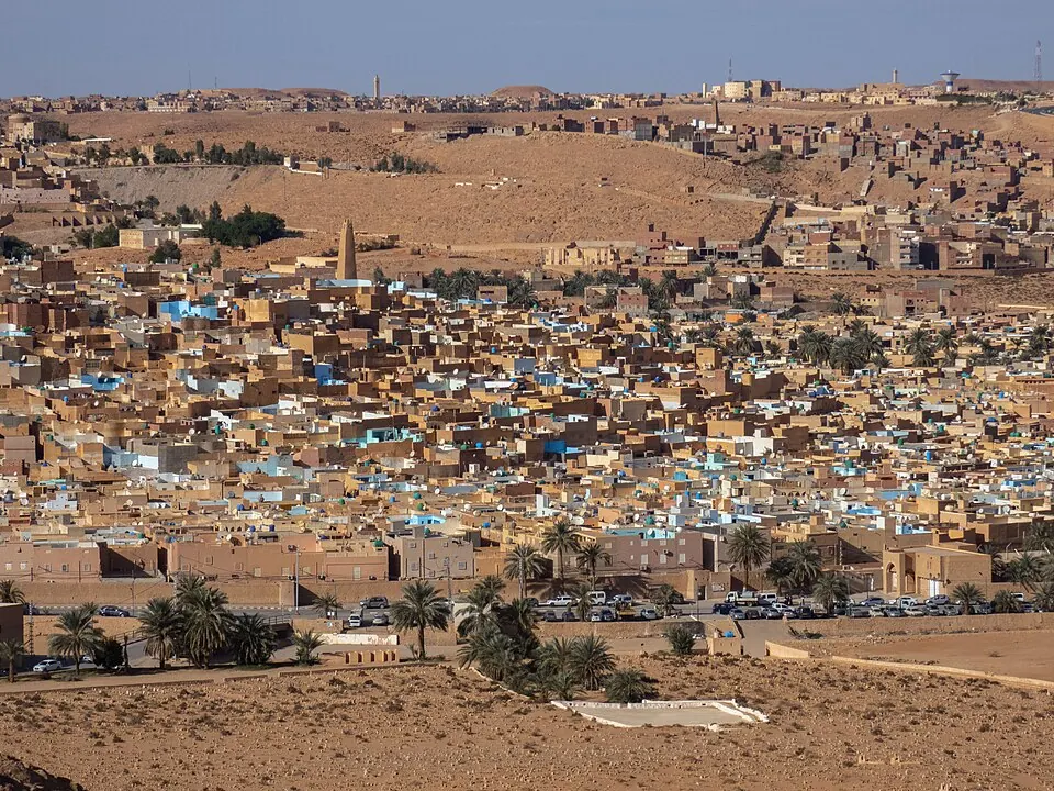
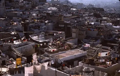
M'zab is a valley, oasis, and historical region located within the Algerian Desert in the Ghardaïa Province. As a UNESCO World Heritage Site, this area covers about 7 square kilometers and ranks as one of the most looked-up sights in Algeria.
Planning a visit
The M'zab valley experiences high temperatures during the summer months, with daily highs reaching 39 °C in July and 38 °C in August. Travelers may prefer the cooler spring or autumn months, such as April with highs of 26 °C or October with highs of 27 °C. Winter temperatures are mild, with January highs of 15 °C and lows of 4 °C. Rainfall is minimal throughout the year, rarely exceeding 16 millimeters in any single month.
The nearest airport is Noumérat - Moufdi Zakaria Airport, located 16 kilometers away in El Atteuf. Visitors traveling from the capital, Algiers, will cover a distance of 480 kilometers to reach the region. For further travel information, the official website for the site is opvm.dz.
Weather by month
The warmest month is July, with an average high of 39 °C. Rain is spread fairly evenly through the year.
| Jan | Feb | Mar | Apr | May | Jun | Jul | Aug | Sep | Oct | Nov | Dec | |
|---|---|---|---|---|---|---|---|---|---|---|---|---|
| Average high, °C | 15 | 18 | 21 | 26 | 31 | 36 | 39 | 39 | 33 | 27 | 20 | 16 |
| Average low, °C | 5 | 6 | 9 | 13 | 17 | 23 | 26 | 26 | 21 | 16 | 10 | 6 |
| Rainfall, mm | 11 | 4 | 8 | 8 | 4 | 4 | 1 | 4 | 16 | 9 | 8 | 5 |
| Rainy days | 1 | 1 | 1 | 2 | 2 | 1 | 0 | 1 | 3 | 1 | 1 | 1 |
Temperatures and rainfall: 1981–2010 averages for this spot (4 km grid), from CHELSA. Rainy days: 2015–2024, NASA POWER.