Algeria
Country · Africa, Northern Africa
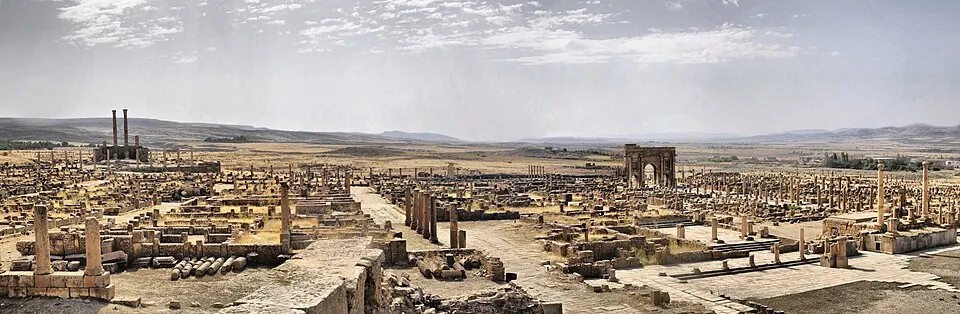
Algeria is a country located in Northern Africa, with Algiers as its capital. Covering an area of 2,381,741 square kilometers and with a population of about 47 million, it offers travellers a vast range of cultural and historical sights.
Highlights
The site covers 14 top sights, featuring major cities such as Algiers and Constantine. Notable landmarks include the Casbah of Algiers, Timgad, Tassili n'Ajjer, Djamaa el Djazaïr, M'zab, Maqam Echahid, Royal Mausoleum of Mauretania, Notre-Dame d'Afrique, Djémila, Tipasa, Qal'at Bani Hammad, Sidi M'Cid Bridge, Bab El Kantra Bridge, and Ahmed Bey Palace.
Food and drink
Local dishes include Baghrir, Kisra, Chakhchoukha, Usban, Kesra, Kalb el louz, Taguella, Matloue, Khobz tounes, Mahdjouba, Mhancha, and Tajine mtewem.
When to go
The climate at the capital features daily highs and lows. June through August brings higher temperatures, with highs reaching 26 °C to 30 °C and lower rainfall, dropping to 1 to 3 rainy days per month. November and December see heavier rainfall, with 119 mm to 140 mm of rain over about 8 to 11 days.
Practical notes
The currency used is the Algerian dinar (DZD). Official languages are Arabic and Standard Algerian Berber. The time zone is UTC+01:00. Driving is on the right side of the road. Plugs used are types C, E, and F, with a voltage of 230 V.
Cities
Food and drink to try in Algeria
- Baghrir
- Kisra
- Chakhchoukha
- Usban
- Kesra
- Kalb el louz
- Taguella
- Matloue
- Khobz tounes
- Mahdjouba
- Mhancha
- Tajine mtewem
Top sights in Algeria
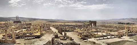 UNESCOTimgad
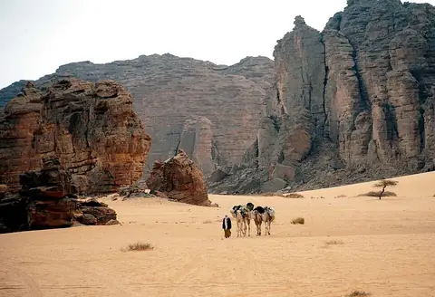 UNESCOTassili n'Ajjer
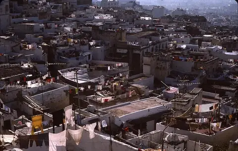 UNESCOCasbah of Algiers
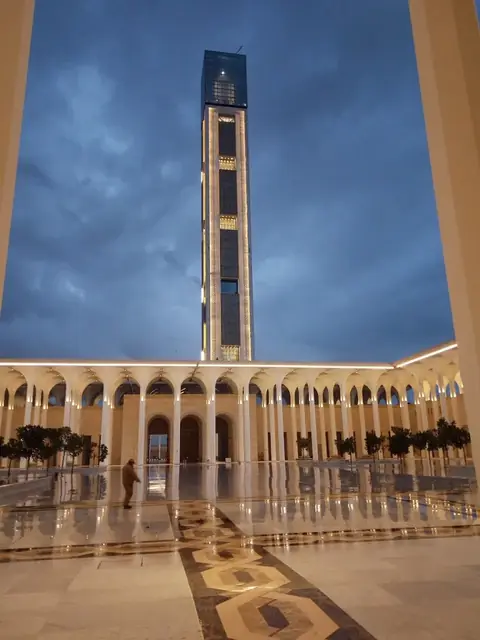 Djamaa el DjazaïrAlgiers
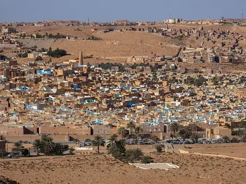 UNESCOM'zab
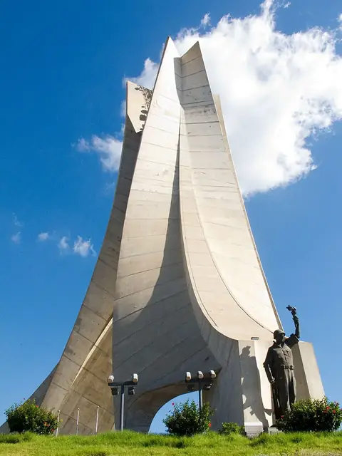 Maqam EchahidAlgiers
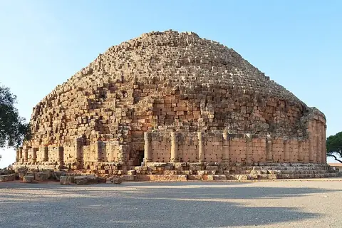 UNESCORoyal Mausoleum of Mauretania
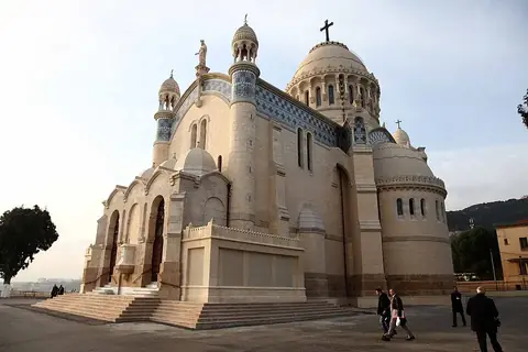 Notre-Dame d'AfriqueAlgiers
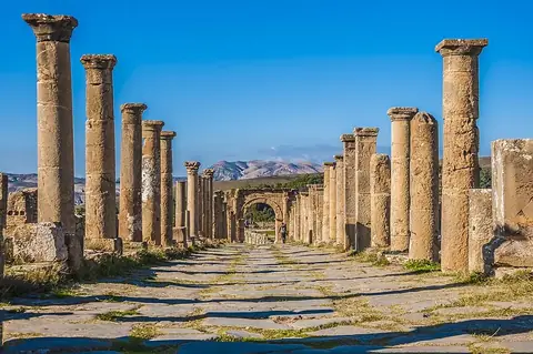 UNESCODjémilaSétif
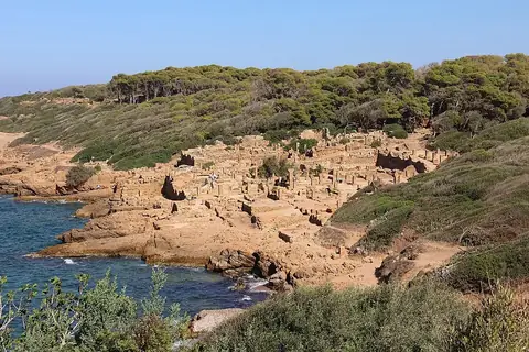 UNESCOTipasa
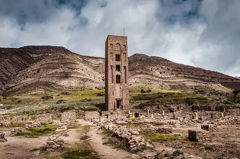 UNESCOQal'at Bani Hammad
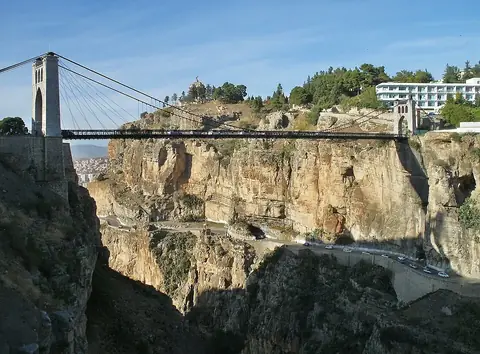 Sidi M'Cid BridgeConstantine
- Bab El Kantra Bridge · Constantine
- Ahmed Bey Palace · Constantine
Weather by month
The warmest month is August, with an average high of 30 °C. The wettest is December, with about 140 mm of rain.
| Jan | Feb | Mar | Apr | May | Jun | Jul | Aug | Sep | Oct | Nov | Dec | |
|---|---|---|---|---|---|---|---|---|---|---|---|---|
| Average high, °C | 15 | 15 | 17 | 19 | 22 | 26 | 29 | 30 | 27 | 24 | 19 | 16 |
| Average low, °C | 9 | 9 | 10 | 12 | 14 | 18 | 21 | 22 | 20 | 17 | 13 | 10 |
| Rainfall, mm | 109 | 87 | 64 | 50 | 44 | 6 | 3 | 9 | 36 | 70 | 119 | 140 |
| Rainy days | 10 | 8 | 9 | 7 | 6 | 3 | 1 | 3 | 7 | 7 | 11 | 8 |
Temperatures and rainfall: 1981–2010 averages for Algiers (4 km grid), from CHELSA. Rainy days: 2015–2024, NASA POWER.
Also worth a look
- Abdellah Ben Salem Mosque
- Ain El Fouara Fountain
- Assekrem
- Bardo National Museum
- Basilica of Saint Augustine
- Bey's Palace
- Cathédrale du Sacré-Cœur d'Oran
- Chréa National Park
- Djamaa el Djedid
- El Mechouar Palace
- Fort of Santa Cruz
- Grande Poste d'Alger
- Ketchaoua Mosque
- National Museum of Fine Arts of Algiers
- Palais des Rais
- Sidi Boumediene Mosque