Niger
Country · Africa, Western Africa
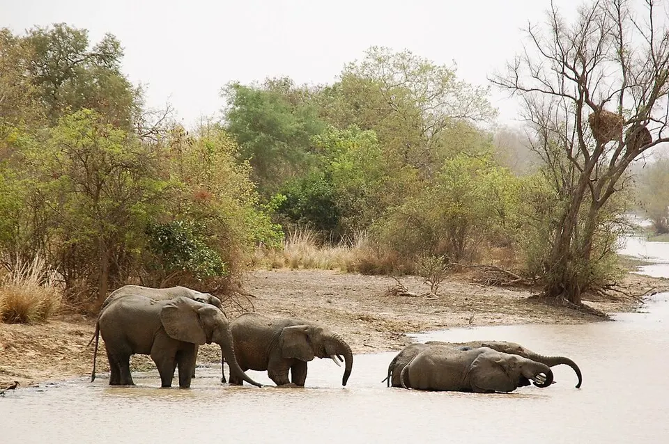
Niger is a landlocked country in Western Africa, bordered by Algeria, Benin, Burkina Faso, Chad, Libya, Mali, and Nigeria. It covers 1,267,000 square kilometers and has a population of about 28 million. The capital city is Niamey.
Highlights
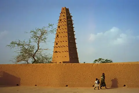
This site covers 3 primary sights. Nature enthusiasts can visit the W National Park (UNESCO) or the Aïr and Ténéré National Nature Reserve (UNESCO). Those interested in historic architecture can visit the Agadez Mosque. Additionally, the Grand Mosque of Niamey is worth a look.
Food and drink
Local culinary options include traditional dishes such as Kilishi and Dambou.
When to go
The weather in Niamey follows a distinct pattern. The most comfortable time to visit is during the cooler, dry months from November to February, when daily highs range between 31°C and 36°C with almost no rain. Temperatures increase significantly from March to May, with April reaching highs of 41°C. The rainy season lasts from June to September; July and August see the most frequent precipitation, with rain occurring on about 21 and 26 days respectively.
Practical notes
The currency used is the West African CFA franc. Hausa is the primary language. Travelers should note that electricity runs at 220 volts, and the country uses plug types A, B, C, E, and F. Driving is on the right side of the road. The time zone is UTC+01:00.
Food and drink to try in Niger
- Kilishi
- Dambou
Top sights in Niger

Weather by month
The warmest month is April, with an average high of 41 °C. The wettest is August, with about 150 mm of rain.
| Jan | Feb | Mar | Apr | May | Jun | Jul | Aug | Sep | Oct | Nov | Dec | |
|---|---|---|---|---|---|---|---|---|---|---|---|---|
| Average high, °C | 31 | 34 | 38 | 41 | 40 | 38 | 35 | 33 | 35 | 37 | 36 | 32 |
| Average low, °C | 16 | 18 | 22 | 25 | 28 | 27 | 25 | 24 | 25 | 24 | 20 | 17 |
| Rainfall, mm | 0 | 0 | 1 | 3 | 21 | 66 | 125 | 150 | 75 | 9 | 0 | 0 |
| Rainy days | 0 | 0 | 0 | 0 | 5 | 11 | 21 | 26 | 17 | 4 | 0 | 0 |
Temperatures and rainfall: 1981–2010 averages for Niamey (4 km grid), from CHELSA. Rainy days: 2015–2024, NASA POWER.
Also worth a look
- Grand Mosque of Niamey