Chad
Country · Africa, Middle Africa
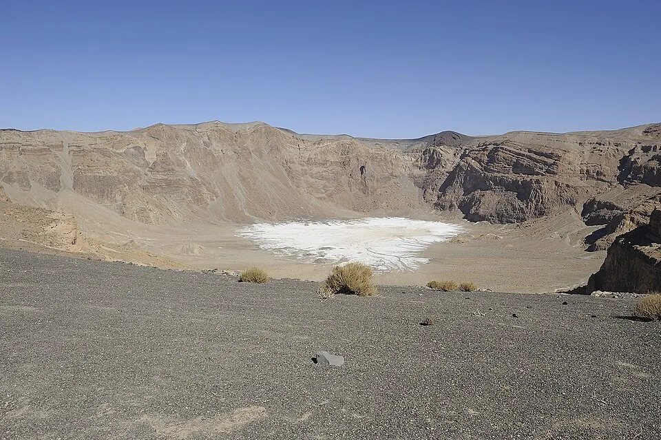
Chad is a country in Middle Africa with the capital N'Djamena. It covers an area of 1,284,000 square kilometres and has a population of about 21 million. The country offers travellers natural landscapes and wildlife areas.
Highlights
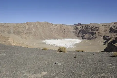
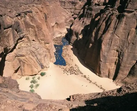
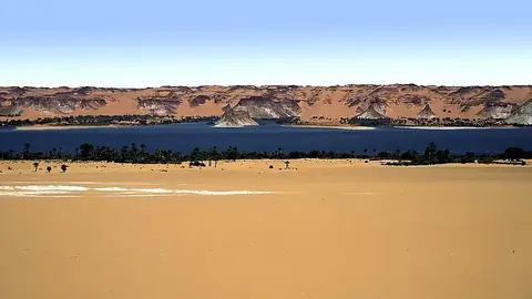
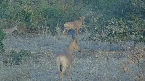
The site covers 4 top sights. Natural landmarks include the highest point Emi Koussi, the Ennedi Plateau, and the Lakes of Ounianga, both of which are UNESCO sites. Wildlife viewing is available at Zakouma National Park.
Food and drink
Local food includes Kisra.
When to go
The climate data reflects the capital N'Djamena. January, February, and March have daily highs of 32 °C to 39 °C with 0 mm of rain. April and May see daily highs reach 41 °C and 40 °C with minimal rain. From June through September, daily highs range from 31 °C to 38 °C with significant rainfall, peaking in August at 167 mm over about 26 days. October brings 17 mm of rain, while November and December are dry with highs of 35 °C and 33 °C.
Practical notes
The currency is the Central African CFA franc. Official languages are French and Arabic. The country uses type C, E, and F plugs with a voltage of 220. Driving is on the right side. The time zone is UTC+01:00.
Food and drink to try in Chad
- Kisra
Top sights in Chad
Weather by month
The warmest month is April, with an average high of 41 °C. The wettest is August, with about 167 mm of rain.
| Jan | Feb | Mar | Apr | May | Jun | Jul | Aug | Sep | Oct | Nov | Dec | |
|---|---|---|---|---|---|---|---|---|---|---|---|---|
| Average high, °C | 32 | 35 | 39 | 41 | 40 | 38 | 33 | 31 | 33 | 36 | 35 | 33 |
| Average low, °C | 16 | 19 | 23 | 26 | 27 | 27 | 25 | 24 | 24 | 24 | 21 | 17 |
| Rainfall, mm | 0 | 0 | 0 | 5 | 24 | 41 | 153 | 167 | 78 | 17 | 0 | 0 |
| Rainy days | 0 | 0 | 0 | 0 | 3 | 11 | 22 | 26 | 18 | 5 | 0 | 0 |
Temperatures and rainfall: 1981–2010 averages for N'Djamena (4 km grid), from CHELSA. Rainy days: 2015–2024, NASA POWER.
Also worth a look
- Chad National Museum