Ennedi Plateau
Chad UNESCO World Heritage Site
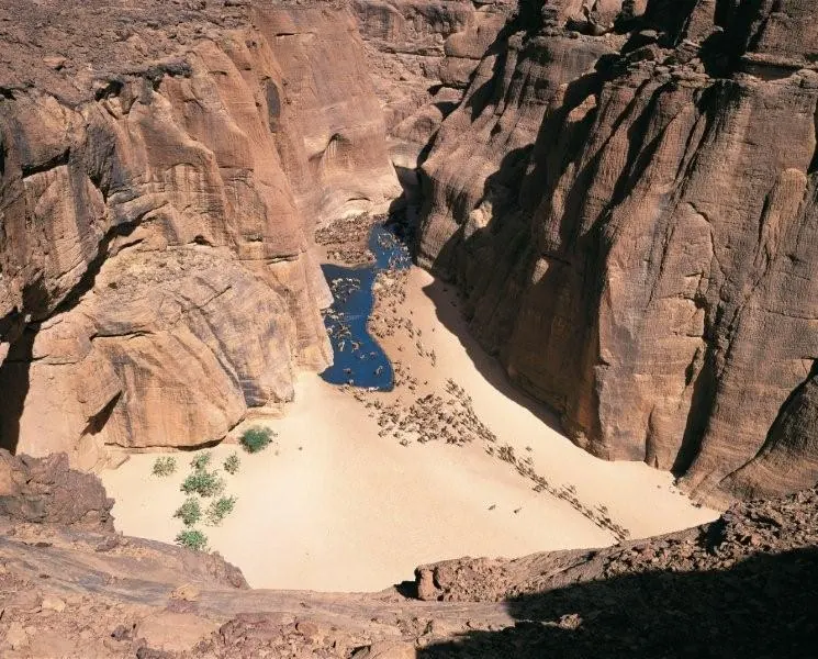
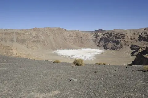
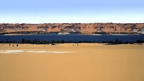
The Ennedi Plateau is a mountain range and plateau in Chad. It is designated as a World Heritage Site and covers an area of 24,412 square kilometers. It is one of the most looked-up sights in Chad on English Wikipedia.
Planning a visit
January, February, March, April, October, November, and December have no rain and daily highs ranging from 25 °C to 34 °C with lows from 10 °C to 20 °C. May and June have 2 mm of rain, September has 9 mm on 2 days, July has 31 mm on 3 days, and August has 58 mm on 10 days with highs of 33 °C and lows of 21 °C.
The nearest airport is El Fasher Airport in El Fasher, Sudan, located 539 km away, while N'Djamena International Airport in N'Djamena is 941 km away. The plateau is 941 km from the capital, N'Djamena.
Weather by month
The warmest month is May, with an average high of 36 °C. The wettest is August, with about 58 mm of rain.
| Jan | Feb | Mar | Apr | May | Jun | Jul | Aug | Sep | Oct | Nov | Dec | |
|---|---|---|---|---|---|---|---|---|---|---|---|---|
| Average high, °C | 25 | 27 | 31 | 35 | 36 | 36 | 34 | 33 | 35 | 32 | 28 | 26 |
| Average low, °C | 10 | 12 | 16 | 21 | 23 | 23 | 22 | 21 | 23 | 20 | 15 | 11 |
| Rainfall, mm | 0 | 0 | 0 | 0 | 2 | 2 | 31 | 58 | 9 | 0 | 0 | 0 |
| Rainy days | 0 | 0 | 0 | 0 | 0 | 0 | 3 | 10 | 2 | 0 | 0 | 0 |
Temperatures and rainfall: 1981–2010 averages for this spot (4 km grid), from CHELSA. Rainy days: 2015–2024, NASA POWER.