Cameroon
Country · Africa, Middle Africa
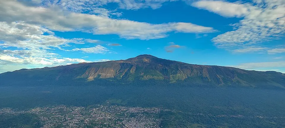
Located in Middle Africa, Cameroon shares borders with Nigeria, Chad, the Central African Republic, the Republic of the Congo, Gabon, and Equatorial Guinea. The country covers 475,442 square kilometers and is home to a population of about 30 million people. Its capital is Yaoundé, and the landscape offers varied terrain ranging from high mountains to protected faunal reserves.
Highlights
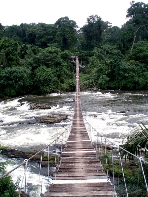
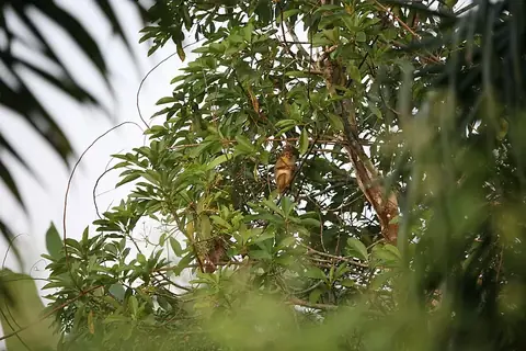
This guide covers 3 primary sights. Nature enthusiasts can visit Mount Cameroon, which is the highest point in the country. For wildlife and habitat observation, the Dja Faunal Reserve is a UNESCO site, and Korup National Park offers a protected environment.
Food and drink
Local dishes include Ndolé, Achu, Ekwang, and Koki.
When to go
The weather in Yaoundé varies by rainfall levels. December and January are the driest months, with 30 mm of rain on about 4 days in December and 20 mm on about 1 day in January; temperatures range from 20 °C to 29 °C. February is also relatively dry, with 40 mm of rain over 4 days. The period from March through October experiences significant rainfall, peaking in October with 306 mm of rain on about 29 days.
Practical notes
The currency is the Central African CFA franc. The official languages are French and English. The time zone is UTC+01:00. Electricity is 220 V, using plug types C and E. Traffic moves on the right side of the road. The calling code is +237.
Food and drink to try in Cameroon
- Ndolé
- Achu
- Ekwang
- Koki
Top sights in Cameroon
Weather by month
The warmest month is February, with an average high of 30 °C. The wettest is October, with about 306 mm of rain.
| Jan | Feb | Mar | Apr | May | Jun | Jul | Aug | Sep | Oct | Nov | Dec | |
|---|---|---|---|---|---|---|---|---|---|---|---|---|
| Average high, °C | 29 | 30 | 29 | 28 | 28 | 27 | 26 | 26 | 26 | 26 | 27 | 27 |
| Average low, °C | 20 | 21 | 21 | 21 | 21 | 20 | 20 | 20 | 20 | 20 | 20 | 20 |
| Rainfall, mm | 20 | 40 | 128 | 185 | 239 | 193 | 110 | 140 | 238 | 306 | 120 | 30 |
| Rainy days | 1 | 4 | 20 | 25 | 25 | 24 | 25 | 27 | 29 | 29 | 18 | 4 |
Temperatures and rainfall: 1981–2010 averages for Yaoundé (4 km grid), from CHELSA. Rainy days: 2015–2024, NASA POWER.
Also worth a look
- Diy-Gid-Biy
- Lobéké National Park
- Sangha Trinational