Republic of the Congo
Country · Africa, Middle Africa
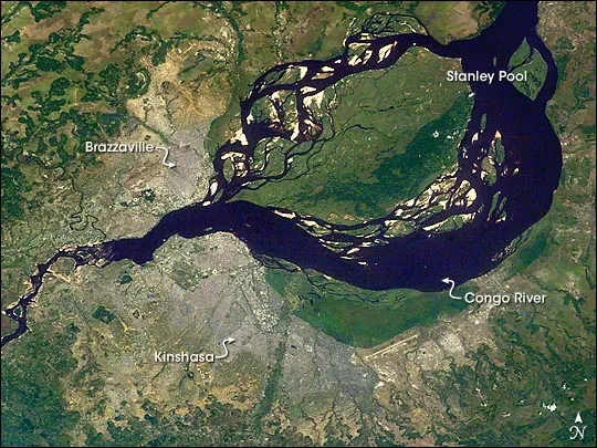
The Republic of the Congo is a country located in Middle Africa, bordered by Angola, Cameroon, Central African Republic, Democratic Republic of the Congo, and Gabon. Its capital is Brazzaville, spanning 342000 square kilometers with a population of about 6.5 million in 2025. The country offers travelers a chance to explore diverse national parks and natural landscapes.
Highlights
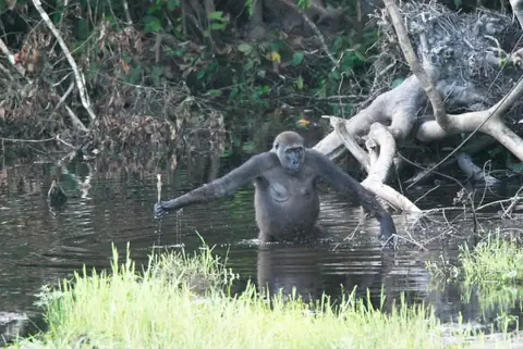
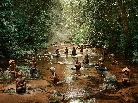
The site covers 3 top sights. Natural highlights include the island of Mbamu, as well as the UNESCO-listed Odzala-Kokoua National Park and Nouabalé-Ndoki National Park.
Food and drink
Local cuisine includes Moambe chicken.
When to go
The climate at the capital, Brazzaville, features daily highs and lows. June, July, and August are drier months with significantly less rain, recording between 2 mm and 7 mm of rain on 1 to 3 days per month, while daily highs remain at 30 °C. November is the wettest month, with 273 mm of rain on about 28 days.
Practical notes
The currency is the Central African CFA franc. The official language is French. Plugs of type C and E are used, with a voltage of 230 V. Driving is on the right side of the road. The time zone is UTC+01:00.
Food and drink to try in Republic of the Congo
- Moambe chicken
Top sights in Republic of the Congo
Weather by month
The warmest month is September, with an average high of 31 °C. The wettest is November, with about 273 mm of rain.
| Jan | Feb | Mar | Apr | May | Jun | Jul | Aug | Sep | Oct | Nov | Dec | |
|---|---|---|---|---|---|---|---|---|---|---|---|---|
| Average high, °C | 30 | 30 | 31 | 30 | 30 | 30 | 30 | 30 | 31 | 31 | 30 | 29 |
| Average low, °C | 23 | 23 | 23 | 23 | 23 | 21 | 20 | 20 | 22 | 23 | 23 | 23 |
| Rainfall, mm | 169 | 162 | 183 | 213 | 125 | 7 | 2 | 7 | 35 | 160 | 273 | 196 |
| Rainy days | 26 | 23 | 26 | 25 | 20 | 2 | 1 | 3 | 12 | 27 | 28 | 28 |
Temperatures and rainfall: 1981–2010 averages for Brazzaville (4 km grid), from CHELSA. Rainy days: 2015–2024, NASA POWER.