Democratic Republic of the Congo
Country · Africa, Middle Africa
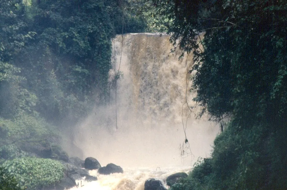
The Democratic Republic of the Congo is located in Middle Africa, with Kinshasa as its capital. Covering an area of 2,344,858 square kilometers, it has a population of about 113 million people in 2025. The country offers visitors a variety of national parks, waterfalls, and cultural sights.
Highlights
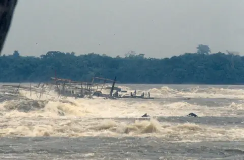
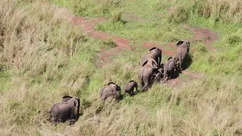
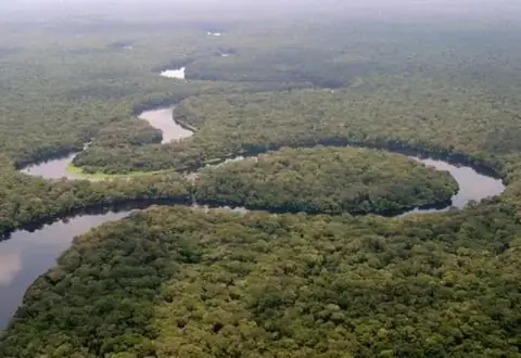
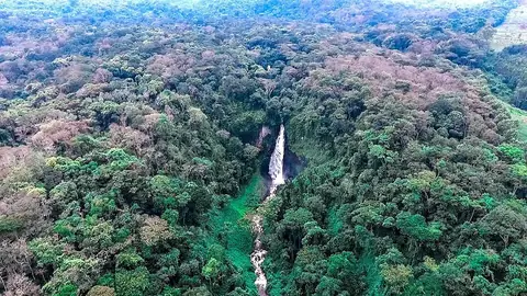
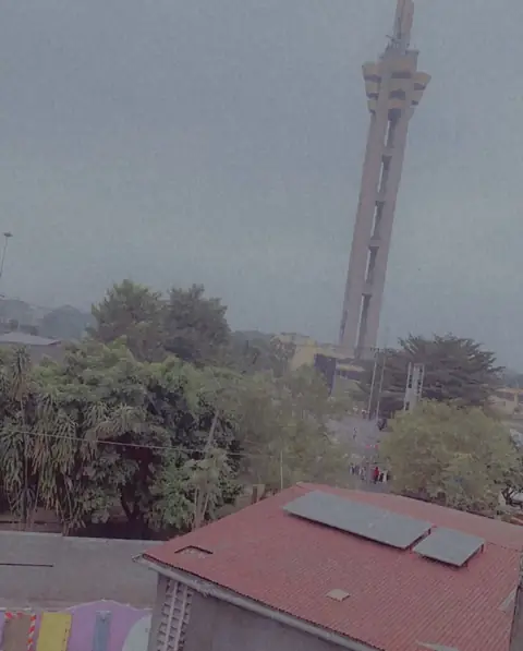
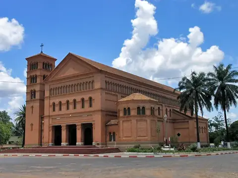
This site covers 10 top sights. Major attractions include UNESCO-listed nature areas such as Virunga National Park, Okapi Wildlife Reserve, Garamba National Park, Salonga National Park, and Kahuzi-Biéga National Park. Other sights span Boyoma Falls, Maiko National Park, Limete Tower, Lola ya Bonobo, and Sts. Peter and Paul Cathedral, Lubumbashi. The capital city included is Kinshasa.
Food and drink
Local dishes to try include moambe chicken and babute.
When to go
The climate at the capital, Kinshasa, features daily highs and lows. Temperatures remain steady throughout the year, with highs around 29 °C to 31 °C and lows from 20 °C to 23 °C. June, July, and August are the driest months in the capital, with very low rainfall and only 1 to 3 rainy days per month. November sees the highest precipitation at 261 mm across about 28 days.
Practical notes
The currency used is the Congolese franc. The official language is French. Plugs C and E are used, operating on a voltage of 220. Driving is on the right side of the road. Time zones include UTC+01:00 and UTC+02:00.
Cities
Food and drink to try in Democratic Republic of the Congo
- Moambe chicken
- Babute
Top sights in Democratic Republic of the Congo

Weather by month
The warmest month is September, with an average high of 31 °C. The wettest is November, with about 261 mm of rain.
| Jan | Feb | Mar | Apr | May | Jun | Jul | Aug | Sep | Oct | Nov | Dec | |
|---|---|---|---|---|---|---|---|---|---|---|---|---|
| Average high, °C | 30 | 30 | 31 | 30 | 30 | 30 | 30 | 30 | 31 | 31 | 29 | 29 |
| Average low, °C | 23 | 23 | 23 | 23 | 23 | 21 | 20 | 20 | 22 | 23 | 23 | 23 |
| Rainfall, mm | 160 | 153 | 176 | 210 | 122 | 6 | 2 | 7 | 34 | 154 | 261 | 186 |
| Rainy days | 26 | 23 | 26 | 25 | 20 | 2 | 1 | 3 | 12 | 27 | 28 | 28 |
Temperatures and rainfall: 1981–2010 averages for Kinshasa (4 km grid), from CHELSA. Rainy days: 2015–2024, NASA POWER.
Also worth a look
- Lake Tanganyika
- National Museum of the Democratic Republic of the Congo