Uganda
Country · Africa, Eastern Africa
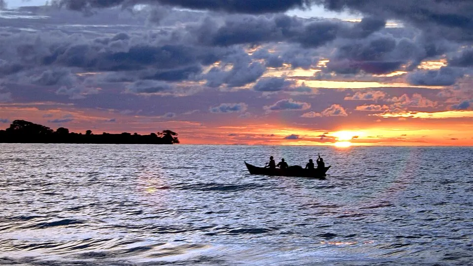
Uganda is located in Eastern Africa with a population of about 51 million people and an area of 241,038 square kilometers. Its capital is Kampala. The country offers travelers diverse national parks, UNESCO sites, and natural lakes.
Highlights
The site covers 5 top sights. Key locations include Lake Victoria, Bwindi Impenetrable National Park, Kasubi Tombs, Queen Elizabeth National Park, and Murchison Falls National Park.
Food and drink
Local dishes to try include Kisra, Matoke, Katogo, Rolex, Kikomando, and Mugoyo.
When to go
The climate data reflects the capital city of Kampala. Temperatures remain steady throughout the year with daily highs ranging from 23 °C to 25 °C and lows from 18 °C to 19 °C. Rainfall varies significantly by month. January and February are drier months with 74 mm of rain on about 11 days and 62 mm on about 11 days respectively. July also brings lower rainfall with 67 mm on about 11 days. Months such as April, May, October, and November experience higher rainfall, with April seeing 179 mm on about 24 days and October and November recording over 150 mm on about 25 to 26 days.
Practical notes
Uganda uses the Ugandan shilling. Official languages are English and Swahili. The country operates on a 240 V supply voltage using type G plugs and driving is on the left side. The time zone is UTC+03:00.
Cities
Food and drink to try in Uganda
- Kisra
- Matoke
- Katogo
- Rolex
- Kikomando
- Mugoyo
Top sights in Uganda
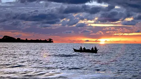 Lake Victoria
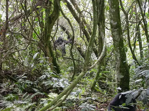 UNESCOBwindi Impenetrable National Park
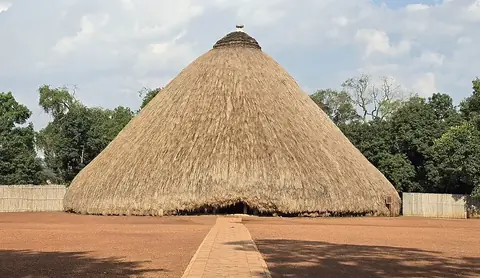 UNESCOKasubi TombsKampala
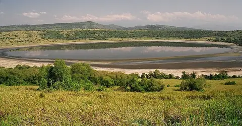 Queen Elizabeth National Park
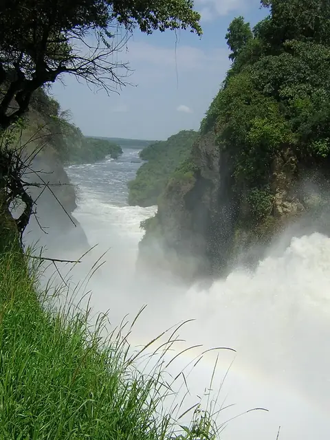 Murchison Falls National Park
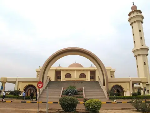 Uganda National MosqueKampala
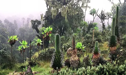 UNESCORwenzori Mountains National ParkKasese
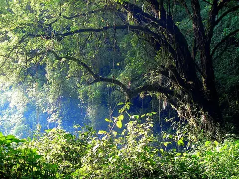 Mount Elgon National Park
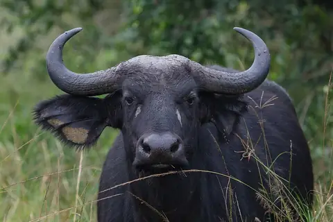 Lake Mburo National Park
 Mgahinga Gorilla National Park
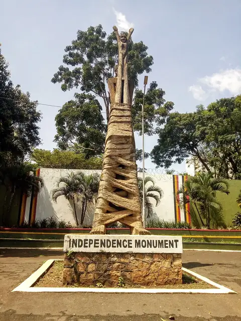 Independence MonumentKampala
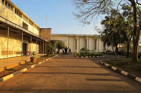 Uganda MuseumKampala
Weather by month
Temperatures stay much the same all year, around 21 °C on average. The wettest is April, with about 179 mm of rain.
| Jan | Feb | Mar | Apr | May | Jun | Jul | Aug | Sep | Oct | Nov | Dec | |
|---|---|---|---|---|---|---|---|---|---|---|---|---|
| Average high, °C | 25 | 25 | 25 | 24 | 24 | 24 | 23 | 24 | 24 | 24 | 24 | 24 |
| Average low, °C | 19 | 19 | 19 | 19 | 19 | 18 | 18 | 18 | 18 | 19 | 18 | 19 |
| Rainfall, mm | 74 | 62 | 142 | 179 | 154 | 76 | 67 | 96 | 121 | 152 | 157 | 109 |
| Rainy days | 11 | 11 | 20 | 24 | 23 | 17 | 11 | 17 | 25 | 26 | 25 | 18 |
Temperatures and rainfall: 1981–2010 averages for Kampala (4 km grid), from CHELSA. Rainy days: 2015–2024, NASA POWER.
Also worth a look
- Kidepo Valley National Park
- Lubiri
- Nyero rock paintings