Murchison Falls National Park
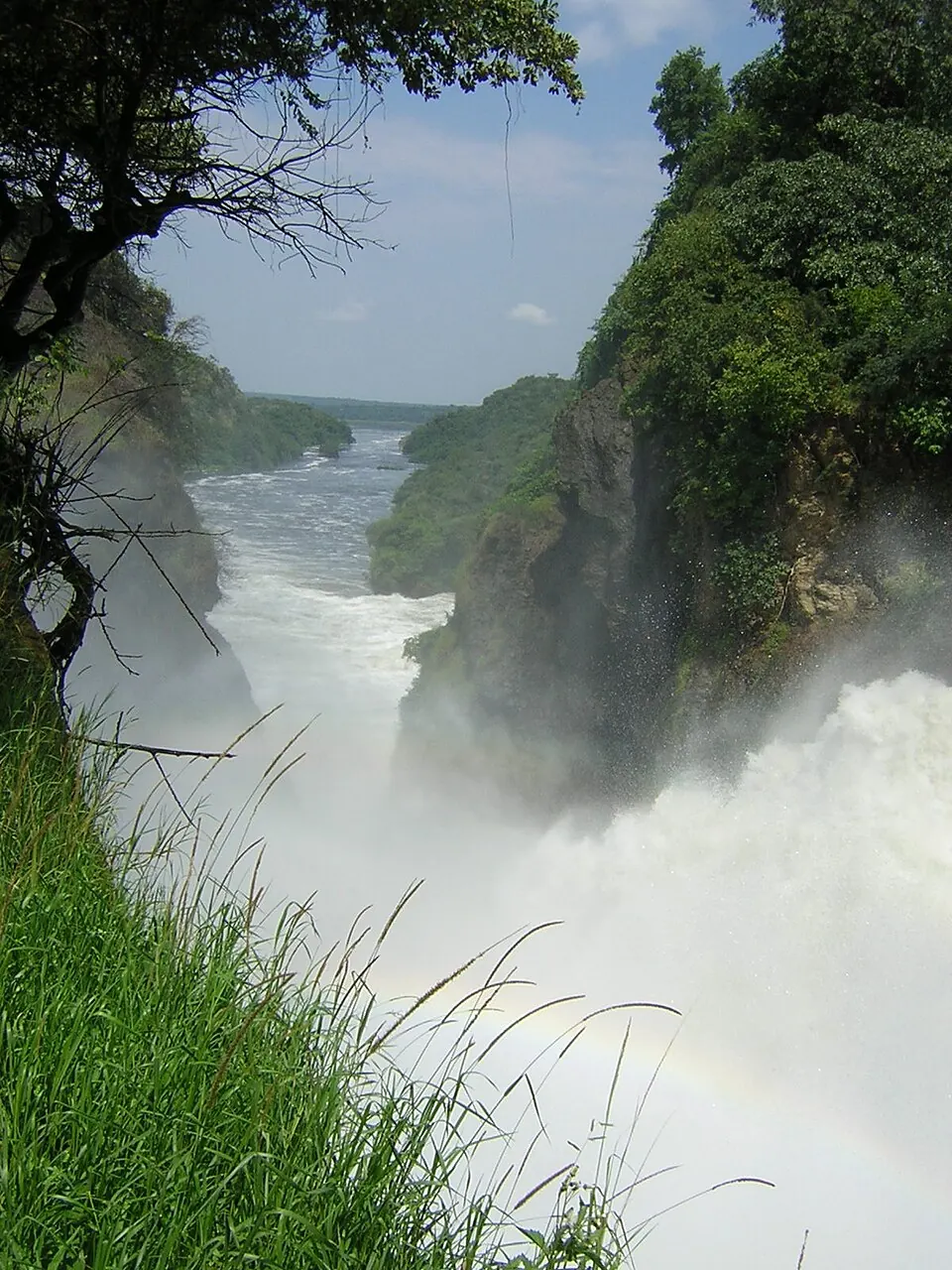
Murchison Falls National Park is a national park of Uganda located in the Northern Region. Established in 1954, it covers an area of about 4 square kilometers and ranks as one of the most looked-up sights in the country.
Planning a visit
The park experiences its driest months from December to February, which are suitable times for a visit. During these months, rainfall is lowest, ranging from 25 mm to 48 mm, and daily highs reach between 31 °C and 34 °C. The rainy season peaks from August to October, with over 20 rainy days per month, making travel more difficult during this period.
To reach the park, travelers can fly into Gulu Airport, located 70 km away, or Entebbe International Airport, which is 268 km from the park. The park is situated 244 km from Kampala.
Weather by month
The warmest month is February, with an average high of 34 °C. The wettest is October, with about 214 mm of rain.
| Jan | Feb | Mar | Apr | May | Jun | Jul | Aug | Sep | Oct | Nov | Dec | |
|---|---|---|---|---|---|---|---|---|---|---|---|---|
| Average high, °C | 33 | 34 | 32 | 30 | 29 | 29 | 28 | 29 | 29 | 29 | 29 | 31 |
| Average low, °C | 21 | 22 | 22 | 21 | 21 | 20 | 20 | 20 | 20 | 20 | 20 | 20 |
| Rainfall, mm | 25 | 32 | 104 | 164 | 138 | 87 | 108 | 159 | 158 | 214 | 151 | 48 |
| Rainy days | 4 | 5 | 12 | 20 | 21 | 20 | 16 | 22 | 23 | 23 | 19 | 9 |
Temperatures and rainfall: 1981–2010 averages for this spot (4 km grid), from CHELSA. Rainy days: 2015–2024, NASA POWER.