Lake Victoria
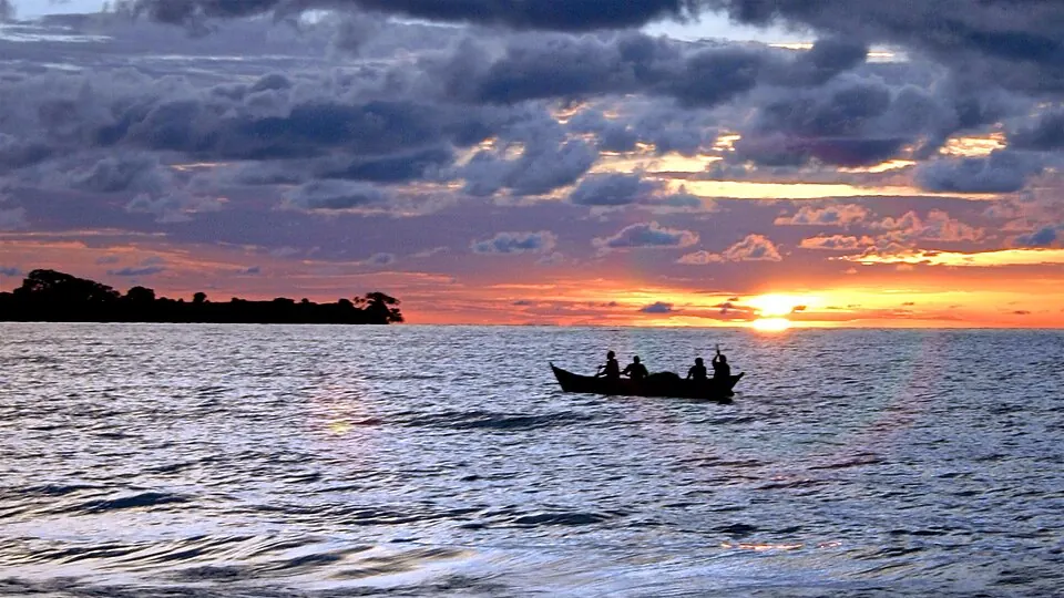
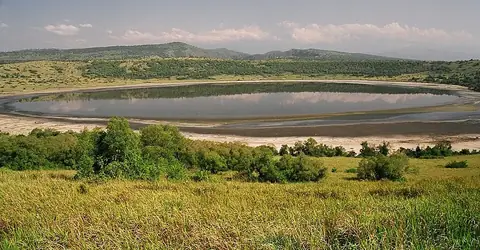
Lake Victoria is a freshwater lake located in Uganda and is part of the African Great Lakes system. Named after Victoria, it is one of the most looked-up sights in the country. Spanning an area of 68100 square kilometers at an elevation of 1133 meters, the lake is a major feature of the region.
Planning a visit
The driest time to visit is from June to August. During these months, rainfall ranges from 60 mm to 82 mm, occurring on 4 to 12 days, while daily temperatures remain consistent with highs of 24 °C to 25 °C and lows of 21 °C to 22 °C. Visitors should be prepared for wetter conditions in April and November, which see the highest rainfall at 254 mm and 186 mm, respectively, with rain occurring on about 25 days each month.
Travelers can reach the lake via Entebbe International Airport in Uganda, which is 131 km away. Alternatively, Musoma Airport in Tanzania is 105 km from the lake. The lake is situated 153 km from the capital, Kampala. It is one of 12 sights of the country on this site.
Weather by month
Temperatures stay much the same all year, around 23 °C on average. The wettest is April, with about 254 mm of rain.
| Jan | Feb | Mar | Apr | May | Jun | Jul | Aug | Sep | Oct | Nov | Dec | |
|---|---|---|---|---|---|---|---|---|---|---|---|---|
| Average high, °C | 25 | 26 | 25 | 25 | 25 | 25 | 24 | 25 | 25 | 25 | 24 | 25 |
| Average low, °C | 21 | 22 | 22 | 21 | 22 | 22 | 21 | 21 | 21 | 21 | 21 | 21 |
| Rainfall, mm | 123 | 114 | 206 | 254 | 196 | 69 | 60 | 82 | 105 | 145 | 186 | 160 |
| Rainy days | 17 | 17 | 22 | 25 | 20 | 9 | 5 | 12 | 22 | 24 | 25 | 21 |
Temperatures and rainfall: 1981–2010 averages for this spot (4 km grid), from CHELSA. Rainy days: 2015–2024, NASA POWER.