Sudan
Country · Africa, Northern Africa
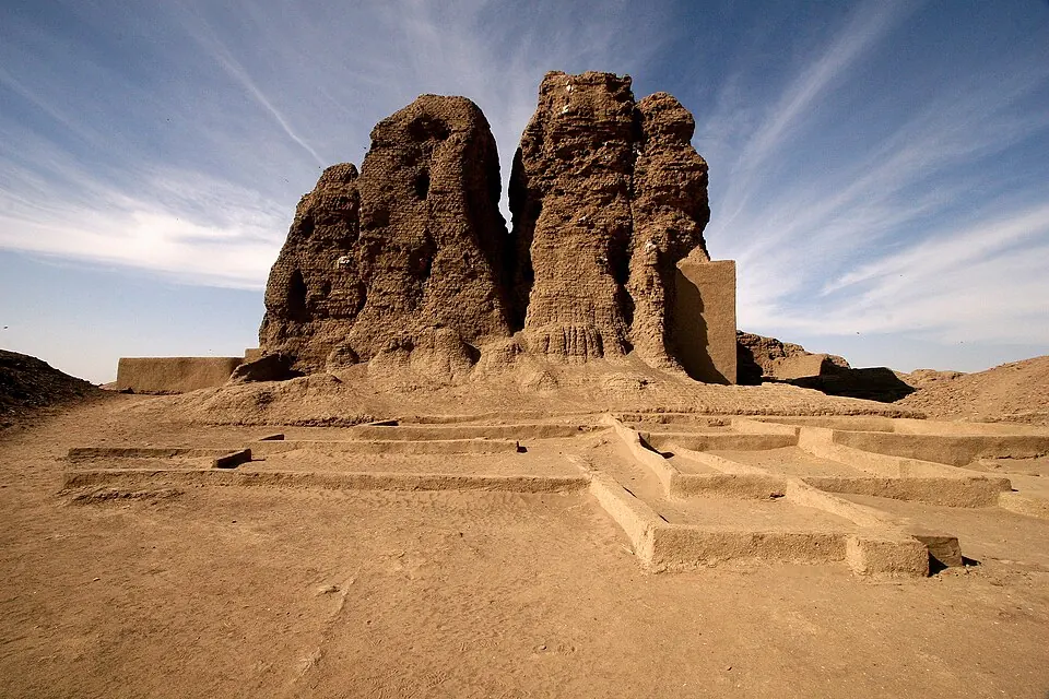
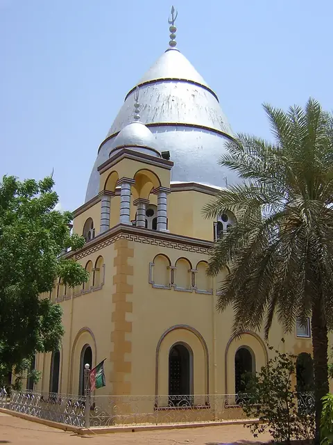
Sudan is located in Northern Africa, covering 1,886,068 square kilometers with a population of about 52 million people. Its capital is Khartoum. The country features various UNESCO sites and historical locations.
Highlights
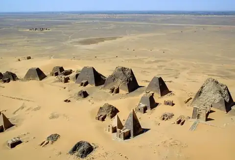
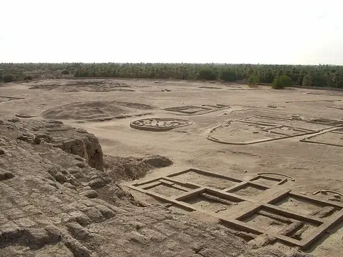
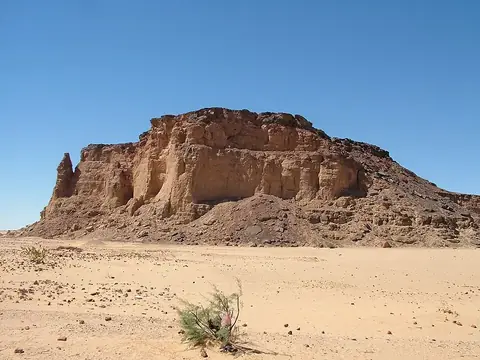
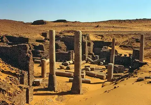
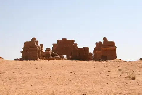
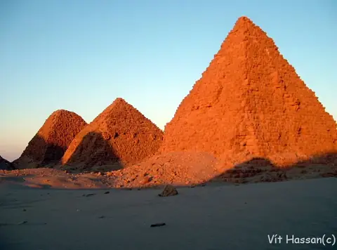
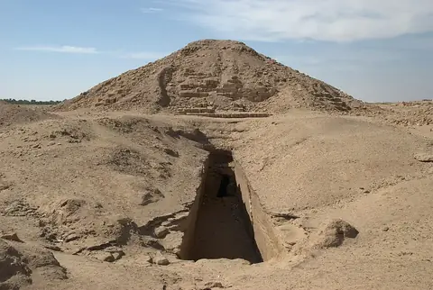
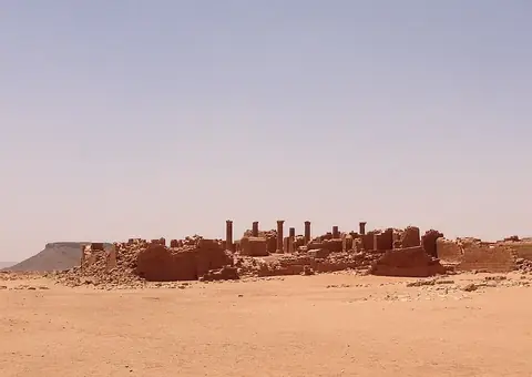
The country features 6 major sights, many of which are designated by UNESCO. These include archaeological sites such as Meroë, Jebel Barkal, Naqa, Nuri, and El-Kurru. Travelers can also visit Kerma.
Food and drink
Local food options include Jalebi and Kisra.
When to go
This section describes the weather in Khartoum. The coolest temperatures occur from December to February, with daily highs between 29 °C and 31 °C and lows of 15 °C to 16 °C. Heat increases throughout the spring, reaching highs of 40 °C in May and June. The rainy season occurs primarily in July and August, when travelers may encounter rain on up to 16 days per month.
Practical notes
The currency is the Sudanese pound. Official languages are Arabic and English. The country uses Type C plugs at 230 V. Driving is on the right side of the road. The time zone is UTC+02:00.
Cities
Food and drink to try in Sudan
- Jalebi
- Kisra
Top sights in Sudan

Weather by month
The warmest month is May, with an average high of 41 °C. Rain is spread fairly evenly through the year.
| Jan | Feb | Mar | Apr | May | Jun | Jul | Aug | Sep | Oct | Nov | Dec | |
|---|---|---|---|---|---|---|---|---|---|---|---|---|
| Average high, °C | 29 | 31 | 35 | 39 | 41 | 40 | 38 | 37 | 38 | 38 | 34 | 31 |
| Average low, °C | 15 | 16 | 20 | 23 | 26 | 27 | 26 | 26 | 26 | 26 | 21 | 16 |
| Rainfall, mm | 0 | 0 | 0 | 0 | 4 | 4 | 26 | 44 | 19 | 4 | 0 | 0 |
| Rainy days | 0 | 0 | 0 | 0 | 1 | 2 | 10 | 16 | 7 | 1 | 0 | 0 |
Temperatures and rainfall: 1981–2010 averages for Khartoum (4 km grid), from CHELSA. Rainy days: 2015–2024, NASA POWER.
Also worth a look
- Sahara