Virunga National Park Parc national des Virunga
Democratic Republic of the Congo UNESCO World Heritage Site
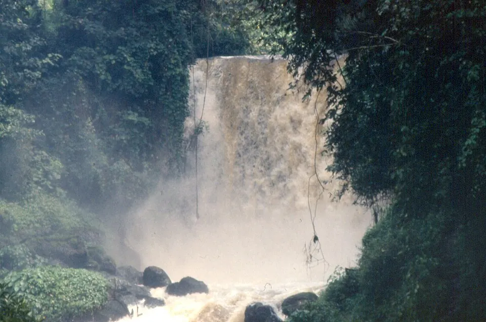
Virunga National Park is a national park located in North Kivu and Orientale Province in the Democratic Republic of the Congo. Established in 1925 by Albert I of Belgium, it covers an area of 7,900 square kilometers and holds status as a World Heritage Site and Ramsar site. It is one of the sights of the country on this site and ranks first by English Wikipedia lookups among the countrys sights.
Planning a visit
July has the lowest rainfall with 33 mm of rain on about 10 days and daily highs of 27 °C and lows of 22 °C. October and November experience higher precipitation, with October seeing 113 mm of rain on about 25 days and November recording 104 mm on about 27 days. Temperatures remain steady throughout the year, with daily highs ranging between 27 °C and 29 °C and lows between 22 °C and 23 °C.
The nearest airport is Savannah Airstrip in Kihihi, Uganda, located 33 km away. Goma International Airport in Goma, Democratic Republic of the Congo, is 133 km away. The park is 1,632 km from the capital, Kinshasa.
Weather by month
Temperatures stay much the same all year, around 25 °C on average. Rain is spread fairly evenly through the year.
| Jan | Feb | Mar | Apr | May | Jun | Jul | Aug | Sep | Oct | Nov | Dec | |
|---|---|---|---|---|---|---|---|---|---|---|---|---|
| Average high, °C | 28 | 29 | 29 | 28 | 27 | 27 | 27 | 27 | 28 | 27 | 27 | 28 |
| Average low, °C | 23 | 23 | 23 | 23 | 22 | 22 | 22 | 22 | 22 | 22 | 22 | 22 |
| Rainfall, mm | 60 | 54 | 82 | 105 | 98 | 42 | 33 | 65 | 95 | 113 | 104 | 67 |
| Rainy days | 14 | 16 | 22 | 25 | 20 | 11 | 10 | 15 | 23 | 25 | 27 | 21 |
Temperatures and rainfall: 1981–2010 averages for this spot (4 km grid), from CHELSA. Rainy days: 2015–2024, NASA POWER.