Burundi
Country · Africa, Eastern Africa
Located in Eastern Africa, Burundi shares borders with the Democratic Republic of the Congo, Rwanda, and Tanzania. The country covers 27,834 square kilometers and has a population of about 14.4 million, with Gitega serving as its capital.
Highlights
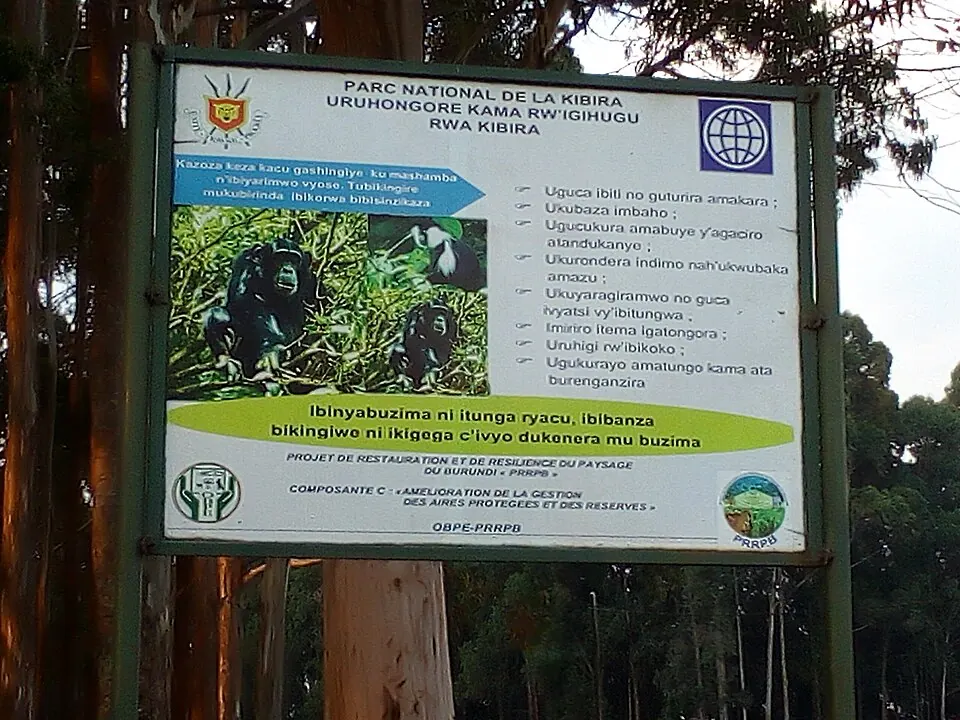
This reference covers 1 sight in Burundi, Kibira National Park. Other locations of interest include the Livingstone–Stanley Monument and Rusizi National Park. The country also features Mount Heha, which is its highest point.
When to go
Gitega experiences distinct wet and dry seasons. The driest months are June and July, with minimal rain and average highs around 24 °C. August and September also remain relatively dry with low rainfall, while temperatures stay consistent between 23 °C and 26 °C throughout the year. The wettest conditions occur from November through April, with rainfall frequently exceeding 100 mm per month and peaking in November and March.
Practical notes
The official languages are Kirundi, French, and English. The currency is the Burundian franc. The country uses 220-volt electricity with plug types C and E. Traffic moves on the right side of the road, and the time zone is UTC+02:00. The calling code is +257.
Top sights in Burundi
Weather by month
The warmest month is September, with an average high of 26 °C. The wettest is November, with about 130 mm of rain.
| Jan | Feb | Mar | Apr | May | Jun | Jul | Aug | Sep | Oct | Nov | Dec | |
|---|---|---|---|---|---|---|---|---|---|---|---|---|
| Average high, °C | 24 | 25 | 24 | 23 | 23 | 24 | 24 | 25 | 26 | 25 | 23 | 24 |
| Average low, °C | 15 | 16 | 15 | 15 | 15 | 15 | 15 | 16 | 16 | 16 | 15 | 15 |
| Rainfall, mm | 120 | 110 | 129 | 128 | 72 | 9 | 8 | 16 | 42 | 92 | 130 | 110 |
| Rainy days | 26 | 20 | 24 | 25 | 13 | 3 | 2 | 5 | 5 | 18 | 25 | 27 |
Temperatures and rainfall: 1981–2010 averages for Gitega (4 km grid), from CHELSA. Rainy days: 2015–2024, NASA POWER.
Also worth a look
- Livingstone–Stanley Monument
- Rusizi National Park