Angola
Country · Africa, Middle Africa
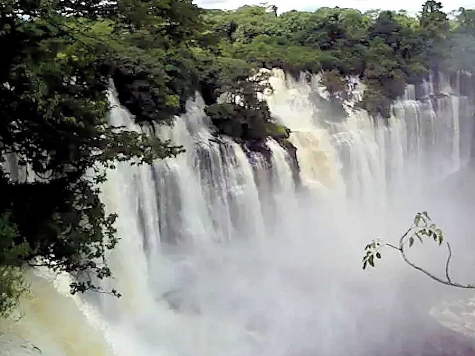
Angola is a country located in Middle Africa, bordered by the Democratic Republic of the Congo, Gabon, Namibia, Republic of the Congo, and Zambia. Its capital is Luanda, and the country covers an area of 1,246,700 square kilometers with a population of about 39 million in 2025. It offers travellers landmarks such as waterfalls and historic structures.
Highlights
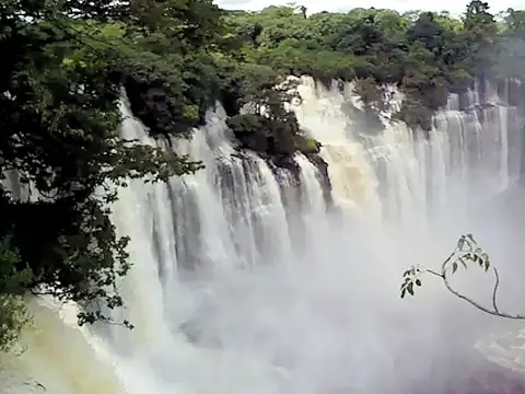
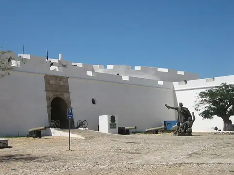
This site covers 2 top sights in Angola. Visitors can explore the Fortress of São Miguel in the capital or travel to see the Kalandula Falls.
Food and drink
Local cuisine includes Moambe chicken.
When to go
The climate data refers to Luanda. June, July, and August are dry months with zero to 1 mm of rain and daily highs around 27 °C to 28 °C. March and April are the rainiest months, receiving over 110 mm of rain across 12 to 13 days alongside daily highs of 31 °C to 32 °C.
Practical notes
The currency is the kwanza. The official language is Portuguese. Driving is on the right side of the road. Time is kept in UTC+01:00. The country uses type C electrical plugs with a voltage of 220.0.
Food and drink to try in Angola
- Moambe chicken
Top sights in Angola
Weather by month
The warmest month is February, with an average high of 32 °C. The wettest is March, with about 127 mm of rain.
| Jan | Feb | Mar | Apr | May | Jun | Jul | Aug | Sep | Oct | Nov | Dec | |
|---|---|---|---|---|---|---|---|---|---|---|---|---|
| Average high, °C | 31 | 32 | 32 | 31 | 31 | 29 | 27 | 27 | 28 | 29 | 30 | 31 |
| Average low, °C | 24 | 24 | 25 | 24 | 23 | 20 | 18 | 19 | 20 | 22 | 23 | 23 |
| Rainfall, mm | 50 | 60 | 127 | 116 | 10 | 1 | 1 | 2 | 2 | 10 | 46 | 35 |
| Rainy days | 5 | 9 | 12 | 13 | 4 | 0 | 0 | 1 | 2 | 3 | 7 | 6 |
Temperatures and rainfall: 1981–2010 averages for Luanda (4 km grid), from CHELSA. Rainy days: 2015–2024, NASA POWER.
Also worth a look
- Cathedral of the Holy Saviour of Congo