Namibia
Country · Africa, Southern Africa
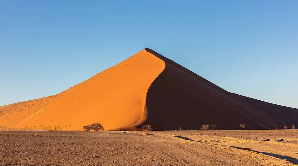
Namibia is a country in Southern Africa, sharing borders with Angola, Botswana, South Africa, and Zambia. Its capital is Windhoek, and the nation covers 825,615 square kilometers with a population of about 3.1 million. Travelers visit for its diverse desert landscapes, wildlife-rich national parks, and significant UNESCO-listed heritage sites.
Highlights
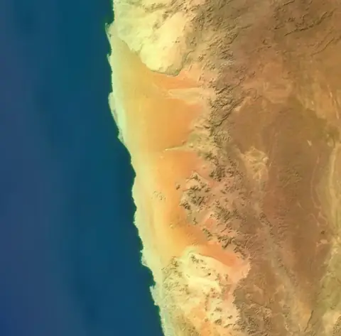
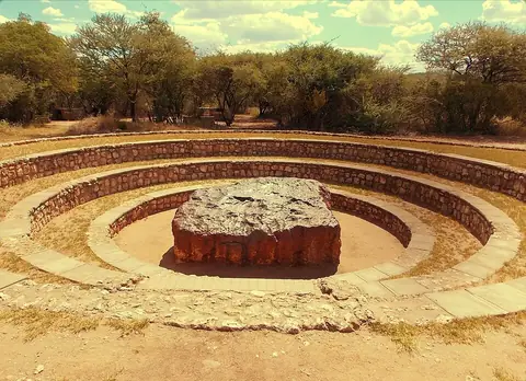
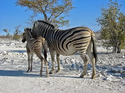
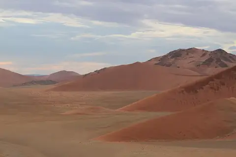
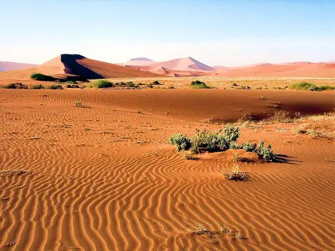
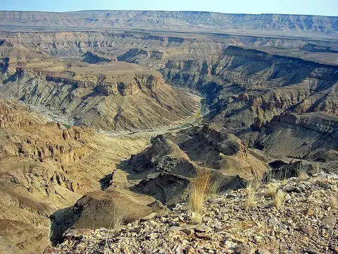
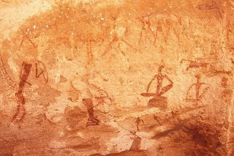
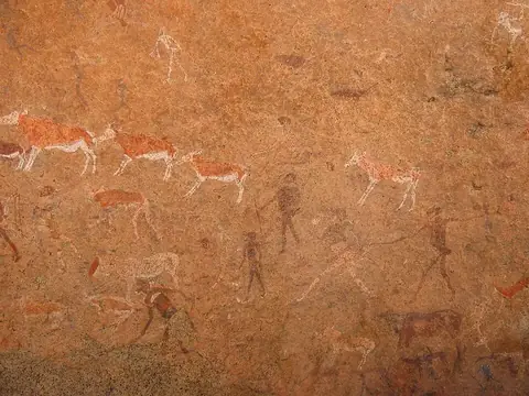
This site covers 8 main sights. The country is defined by its vast desert and geological features, including the Namib desert, Sossusvlei, Deadvlei, and the Namib-Naukluft National Park. The Fish River Canyon and the UNESCO-listed site of Twyfelfontein offer significant landscape and historical interest. For those interested in nature, Etosha National Park serves as a primary destination for wildlife. Additionally, the Hoba meteorite is a notable point of interest.
Food and drink
A traditional dish found in Namibia is droëwors.
When to go
The weather in the capital, Windhoek, follows a distinct seasonal pattern. The driest months are May through September, which see almost no rain, though temperatures can be cool, with lows reaching 6 °C in June and July. The warmer months occur from October to April, with daily highs reaching 30 °C. Travelers should note that these warmer months also bring the most rain, with the highest precipitation occurring between January and March.
Practical notes
The official language is English. The currency consists of the Namibian dollar and the rand. The country operates on a 220-volt electrical system using type D plugs. Traffic drives on the left side of the road. The time zone is UTC+02:00.
Food and drink to try in Namibia
- Droëwors
Top sights in Namibia
Weather by month
The warmest month is December, with an average high of 30 °C. The wettest is February, with about 89 mm of rain.
| Jan | Feb | Mar | Apr | May | Jun | Jul | Aug | Sep | Oct | Nov | Dec | |
|---|---|---|---|---|---|---|---|---|---|---|---|---|
| Average high, °C | 29 | 28 | 27 | 25 | 23 | 20 | 20 | 23 | 27 | 29 | 30 | 30 |
| Average low, °C | 17 | 16 | 15 | 13 | 10 | 6 | 6 | 8 | 11 | 13 | 15 | 16 |
| Rainfall, mm | 75 | 89 | 57 | 28 | 4 | 1 | 0 | 0 | 2 | 11 | 20 | 26 |
| Rainy days | 12 | 13 | 12 | 6 | 1 | 1 | 0 | 0 | 0 | 2 | 4 | 9 |
Temperatures and rainfall: 1981–2010 averages for Windhoek (4 km grid), from CHELSA. Rainy days: 2015–2024, NASA POWER.
Also worth a look
- Bwabwata National Park
- Cape Cross
- Christ Church, Windhoek
- Dune 45
- Epupa Falls
- Khaudum National Park
- Mudumu National Park
- Nkasa Rupara National Park
- Petrified forest, Khorixas
- Sandwich Harbour
- Shark Island
- Waterberg Plateau Park
- ǀAi-ǀAis/Richtersveld Transfrontier Park