Namib
Sossusvlei, Namibia UNESCO World Heritage Site
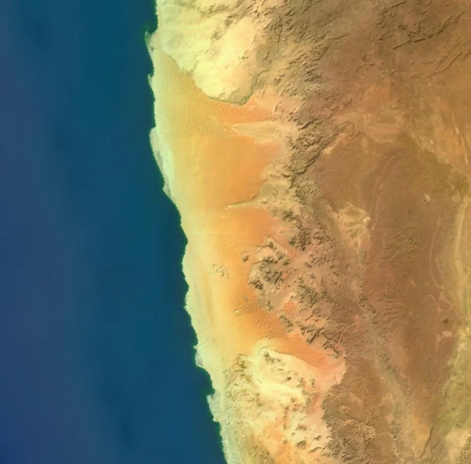
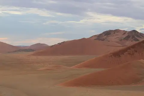
The Namib is a desert located in Sossusvlei, Namibia. It is a UNESCO World Heritage site covering an area of 81000 square kilometers with a length of 2000000 meters. It is one of the most looked-up sights in Namibia.
Planning a visit
The desert experiences daily highs ranging from 27 °C to 31 °C and lows from 11 °C to 17 °C throughout the year. Rain is minimal, with the highest monthly rainfall reaching 7 mm in March, while July through September see virtually no rain and lower temperatures with highs of 27 °C and lows of 11 °C or 12 °C.
The nearest airport is Walvis Bay International Airport in Walvis Bay, located 36 km away. The desert is 219 km from the capital city of Windhoek.
Weather by month
The warmest month is March, with an average high of 31 °C. Rain is spread fairly evenly through the year.
| Jan | Feb | Mar | Apr | May | Jun | Jul | Aug | Sep | Oct | Nov | Dec | |
|---|---|---|---|---|---|---|---|---|---|---|---|---|
| Average high, °C | 29 | 29 | 31 | 31 | 29 | 27 | 27 | 27 | 28 | 28 | 29 | 29 |
| Average low, °C | 15 | 16 | 17 | 17 | 15 | 13 | 12 | 11 | 11 | 12 | 13 | 14 |
| Rainfall, mm | 6 | 6 | 7 | 4 | 1 | 1 | 0 | 0 | 0 | 1 | 1 | 1 |
| Rainy days | 3 | 4 | 2 | 2 | 1 | 0 | 0 | 0 | 0 | 1 | 1 | 2 |
Temperatures and rainfall: 1981–2010 averages for this spot (4 km grid), from CHELSA. Rainy days: 2015–2024, NASA POWER.